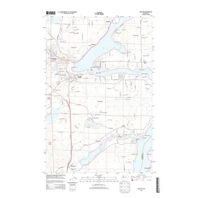
2014 Map of Shelton
USGS Topo · Published 2014About this map
Shelton serves as the focal point of this Mason County landscape, situated at the head of Oakland Bay. The intricate shoreline of South Puget Sound dominates the eastern half of the map, where Hammersley Inlet and Little Skookum Inlet create a complex network of peninsulas and points. These waterways were essential to the development of early settlements like Oakland and Bayshore, which are reached by numerous local routes such as Wa-3 and E Johns Prairie Rd.
Find a feature on this map
228 named features on this map. Tap any name to fly to it.
Don’t see what you’re looking for? This feature index may not catch every label — zoom into the map to look around manually.
Map Details
Editions of this 2014 Shelton Map
This is the sole edition of this map. No revisions or reprints were ever made.
Other maps of this area

1937 · Olympia
USGS Topo · 1:62,500

1938 · Allyn
USGS Topo · 1:62,500

1939 · Shelton
USGS Topo · 1:62,500

1943 · Potlatch
USGS Topo · 1:62,500

1949 · Olympia
USGS Topo · 1:62,500

1952 · Potlatch
USGS Topo · 1:62,500
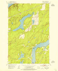
1953 · Mason Lake
USGS Topo · 1:24,000

1953 · Shelton
USGS Topo · 1:62,500

1958 · Seattle
USGS Topo · 1:250,000
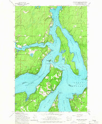
1959 · Squaxin Island
USGS Topo · 1:24,000