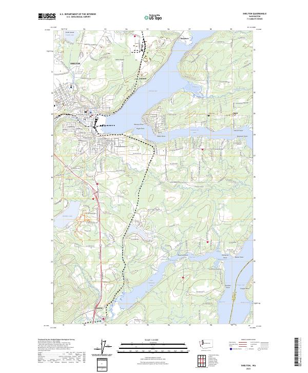
2023 Map of Shelton
USGS Topo · Published 2023About this map
Shelton serves as the focal point of this Mason County landscape, positioned where Shelton Creek and Goldsborough Creek meet the tidal waters of Oakland Bay. The map captures a complex shoreline of inlets and coves, including the narrow reach of Hammersley Inlet and the southern waters of Little Skookum Inlet. In the town center, the Mason County Courthouse and Shelton Memorial Park stand as significant local landmarks for historical researchers.
Find a feature on this map
191 named features on this map. Tap any name to fly to it.
Don’t see what you’re looking for? This feature index may not catch every label — zoom into the map to look around manually.
Map Details
Editions of this 2023 Shelton Map
This is the sole edition of this map. No revisions or reprints were ever made.
Other maps of this area

1937 · Olympia
USGS Topo · 1:62,500

1938 · Allyn
USGS Topo · 1:62,500

1939 · Shelton
USGS Topo · 1:62,500

1943 · Potlatch
USGS Topo · 1:62,500

1949 · Olympia
USGS Topo · 1:62,500

1952 · Potlatch
USGS Topo · 1:62,500
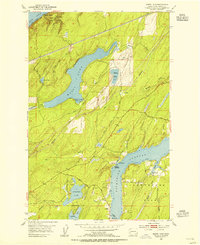
1953 · Mason Lake
USGS Topo · 1:24,000

1953 · Shelton
USGS Topo · 1:62,500

1958 · Seattle
USGS Topo · 1:250,000
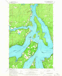
1959 · Squaxin Island
USGS Topo · 1:24,000