2023 Map of Shenandoah
USGS Topo · Published 2023About this map
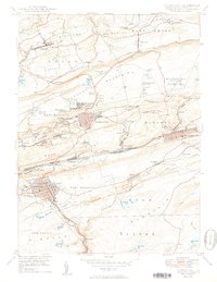
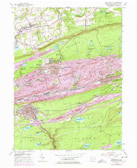
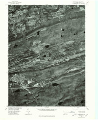
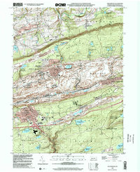
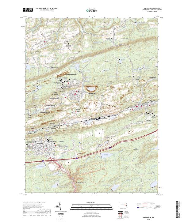
Shenandoah Heights and the surrounding anthracite coal country are defined by a complex mosaic of ethnic and religious heritage, as seen in the dense cluster of cemeteries serving distinct immigrant communities. From the Old Holy Ghost Russian Orthodox Cem and Kehillath Israel Hebrew Cem to the Saint John the Baptist Polish National Catholic Cem, the map documents the cultural settlement of the Mahanoy City area. The landscape is heavily marked by industrial water management, featuring a series of numbered reservoirs like Reservoir Number One through Reservoir Number Six and the large Eisenhuth Reservoir. Transportation networks, including Frackville Junction and Wetherill Junction, highlight the region's historic reliance on rail to move resources through the gaps between Bear Ridge and Broad Mountain.
Find a feature on this map
195 named features on this map. Tap any name to fly to it.
Don’t see what you’re looking for? This feature index may not catch every label — zoom into the map to look around manually.
Map Details
Editions of this 2023 Shenandoah Map
This is the sole edition of this map. No revisions or reprints were ever made.
Historical Maps of Upper Brownville Through Time
5 maps found