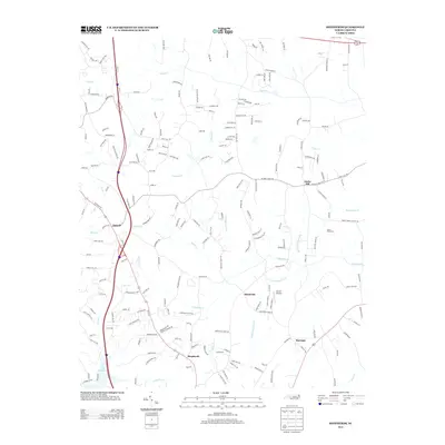
2013 Map of Shepherds
USGS Topo · Published 2013About this map
The agrarian landscape of Iredell County, North Carolina, is defined by its network of historic small communities including Ostwalt, Amity Hill, and Shinnville. Located north of the growing Piedmont cities, this area maintains a traditional rural character punctuated by local landmarks like Mount Tabor Church and Atwell Airport. The southern edge of the map shows the influence of modern infrastructure with the reach of Lake Norman and the proximity of the community of Shepherds.
Find a feature on this map
205 named features on this map. Tap any name to fly to it.
Don’t see what you’re looking for? This feature index may not catch every label — zoom into the map to look around manually.
Map Details
Editions of this 2013 Shepherds Map
This is the sole edition of this map. No revisions or reprints were ever made.
Other maps of this area

1893 · Statesville
USGS Topo · 1:125,000

1953 · Charlotte
USGS Topo · 1:250,000

1954 · Charlotte
USGS Topo · 1:250,000

1960 · Charlotte
USGS Topo · 1:250,000

1962 · Charlotte
USGS Topo · 1:250,000

1969 · Cool Springs
USGS Topo · 1:24,000

1969 · Shepherds
USGS Topo · 1:24,000

1969 · Troutman
USGS Topo · 1:24,000
1969 · Mooresville
USGS Topo · 1:24,000

1969 · Statesville West
USGS Topo · 1:24,000