1969 Map of Troutman
USGS Topo · Published 1972About this map
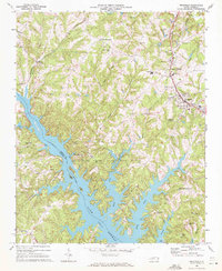
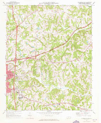
Lake Norman dominates the southern landscape of this Iredell County survey, its intricate shoreline reflecting the flooding of the Catawba River valley. The map documents a period of significant recreational development following the lake's creation, anchored by the sprawling Duke Power State Park and various public access points like the Campground and Boat Ramp facilities. Along the eastern corridor, the Southern railroad links the towns of Troutman and Barium Springs, the latter noted for the Home for Children and the County Fairgrounds. Farther west, older river settlements such as Long Island and Monbo sit adjacent to the rising waters. The rural interior is dotted with community landmarks, including South Iredell High Sch and numerous country churches like Mountain Road Ch and St Martins Ch, providing a detailed look at the county's social fabric in the late 1960s.
Find a feature on this map
54 named features on this map. Tap any name to fly to it.
Don’t see what you’re looking for? This feature index may not catch every label — zoom into the map to look around manually.
Map Details
Editions of this 1969 Troutman Map
This is the sole edition of this map. No revisions or reprints were ever made.
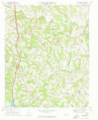
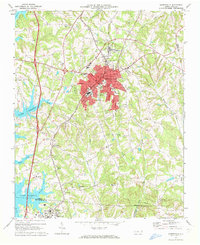
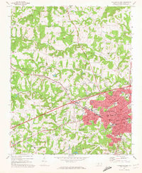
Other maps of this area

1893 · Statesville
USGS Topo · 1:125,000

1895 · Hickory
USGS Topo · 1:125,000

1953 · Charlotte
USGS Topo · 1:250,000

1954 · Charlotte
USGS Topo · 1:250,000

1960 · Charlotte
USGS Topo · 1:250,000

1962 · Charlotte
USGS Topo · 1:250,000
1969 · Shepherds
USGS Topo · 1:24,000
1969 · Mooresville
USGS Topo · 1:24,000
1969 · Statesville West
USGS Topo · 1:24,000
1969 · Statesville East
USGS Topo · 1:24,000