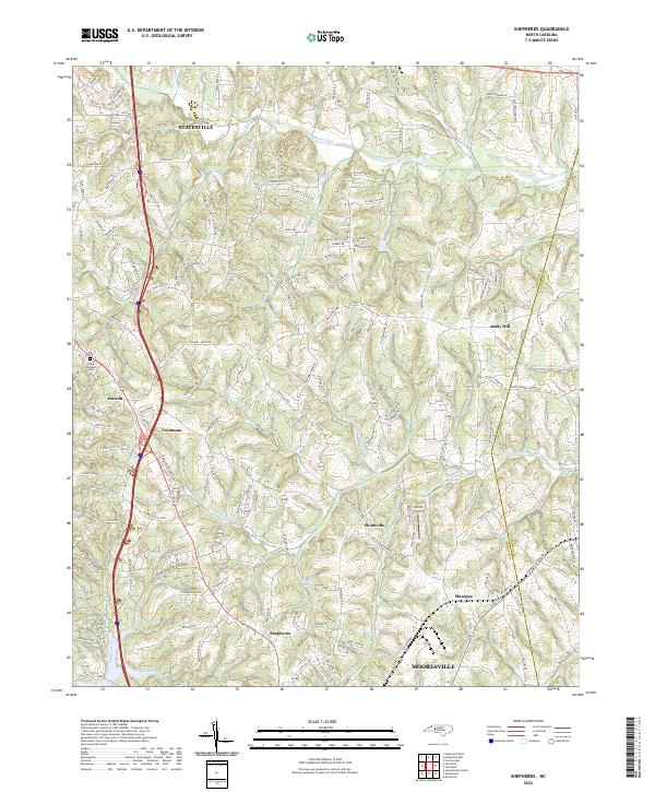
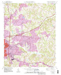
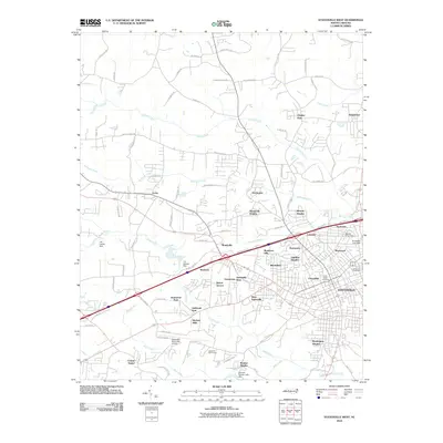
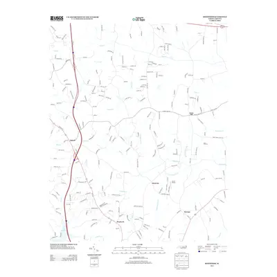
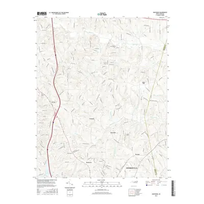
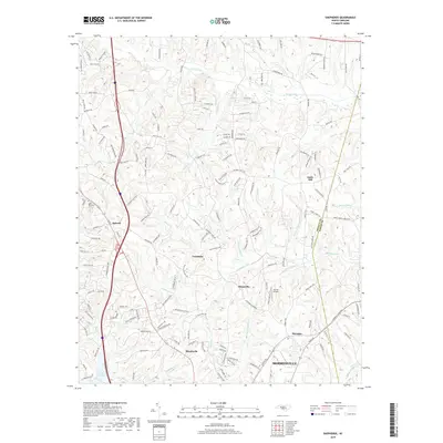
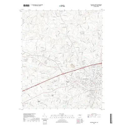
2022 Map of Shepherds
USGS Topo · Published 2022About this map
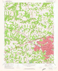
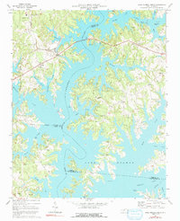
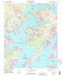
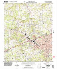
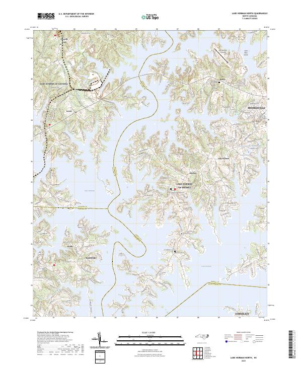
Statesville and Mooresville anchor the northern and southern boundaries of this Iredell County landscape, where small rural communities are connected by a web of creek-side roads. The terrain is defined by the drainage systems of Third Creek and Withrow Creek, which carve out the subtle ridges housing established settlements like Ostwalt, Troutman, and Shepherds. This survey reveals the transition between expanding town centers and the traditional agriculture-based geography of the Piedmont, where family-named landmarks such as Kerr Branch and Cornelius Creek persist.
Find a feature on this map
146 named features on this map. Tap any name to fly to it.
Don’t see what you’re looking for? This feature index may not catch every label — zoom into the map to look around manually.
Map Details
Editions of this 2022 Shepherds Map
This is the sole edition of this map. No revisions or reprints were ever made.
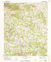
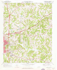
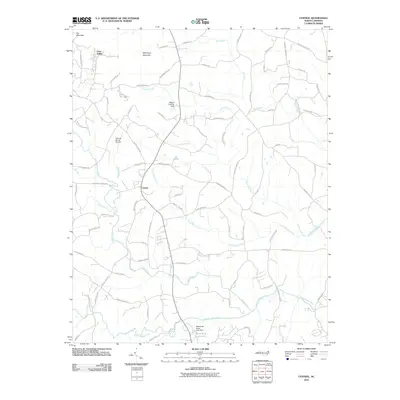
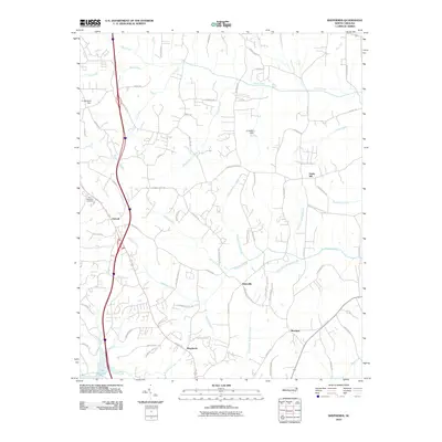
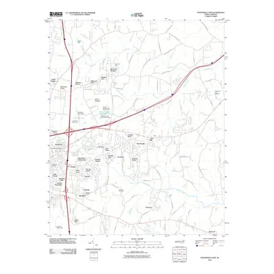
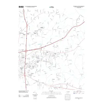
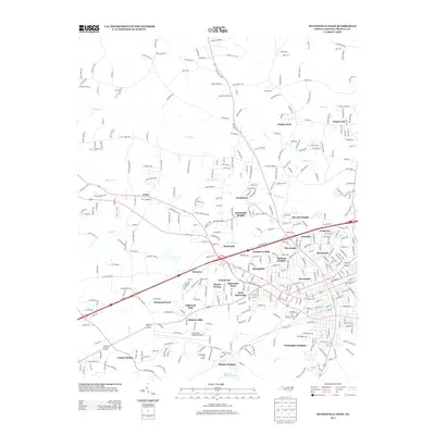
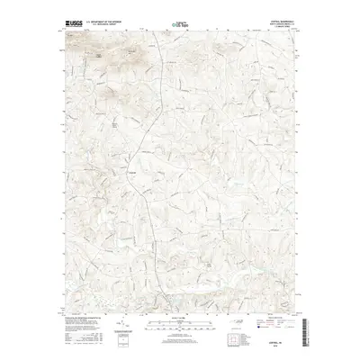
Historical Maps of Mooresville Through Time
37 maps found
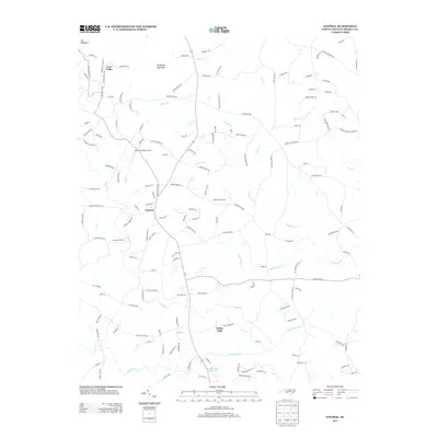
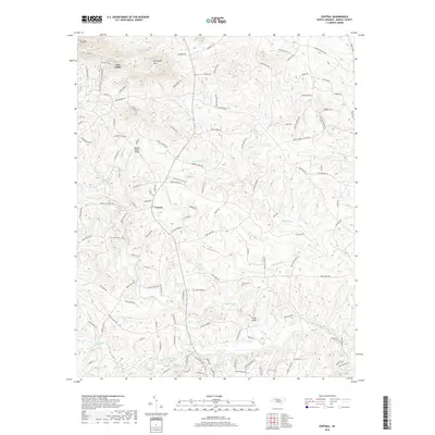
1969 Central
Iredell County, NC
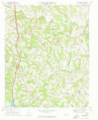
1969 Shepherds
Iredell County, NC
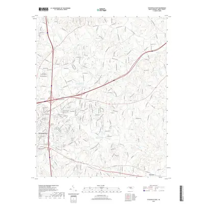
1969 Statesville East
Iredell County, NC
1969 Statesville West
Iredell County, NC
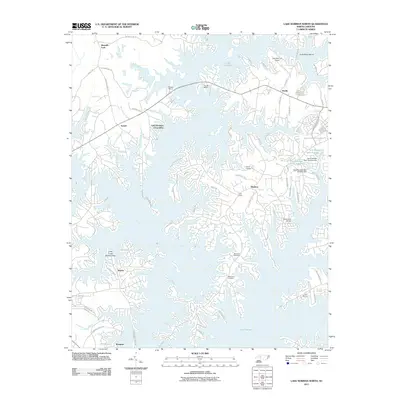
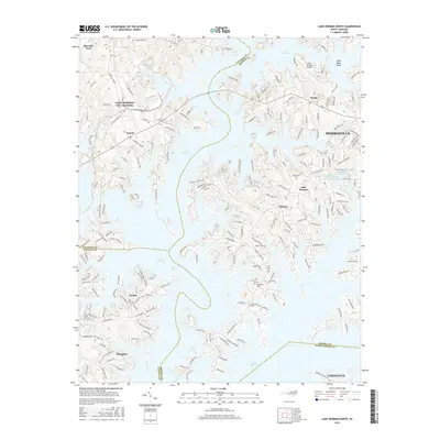
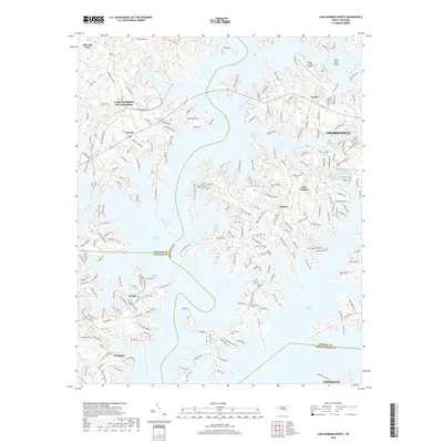
1970 Lake Norman North
Iredell County, NC
1976 Statesville West
Iredell County, NC
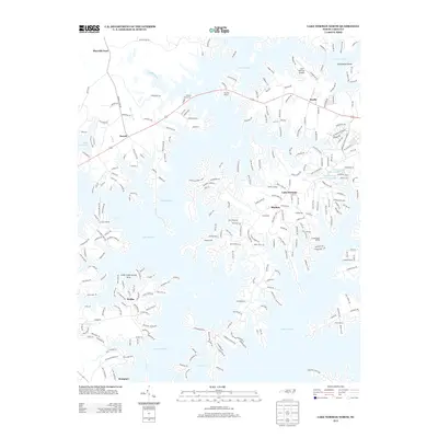
1993 Lake Norman North
Iredell County, NC
1993 Statesville East
Iredell County, NC
1993 Statesville West
Iredell County, NC
1997 Central
Iredell County, NC
2002 Statesville East
Iredell County, NC
2002 Statesville West
Iredell County, NC
2010 Central
Iredell County, NC
2010 Shepherds
Iredell County, NC
2010 Statesville East
Iredell County, NC
2010 Statesville West
Iredell County, NC
2011 Lake Norman North
Iredell County, NC
2013 Central
Iredell County, NC
2013 Lake Norman North
Iredell County, NC
2013 Shepherds
Iredell County, NC
2013 Statesville East
Iredell County, NC
2013 Statesville West
Iredell County, NC
2016 Central
Iredell County, NC
2016 Lake Norman North
Iredell County, NC
2016 Shepherds
Iredell County, NC
2016 Statesville East
Iredell County, NC
2016 Statesville West
Iredell County, NC
2019 Central
Iredell County, NC
2019 Lake Norman North
Iredell County, NC
2019 Shepherds
Iredell County, NC
2019 Statesville East
Iredell County, NC
2019 Statesville West
Iredell County, NC
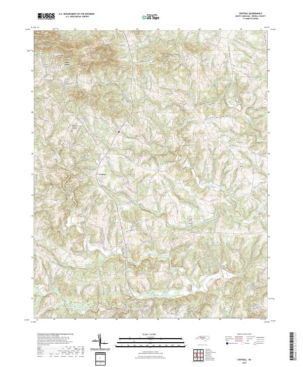
2022 Central
Iredell County, NC
2022 Shepherds
Iredell County, NC
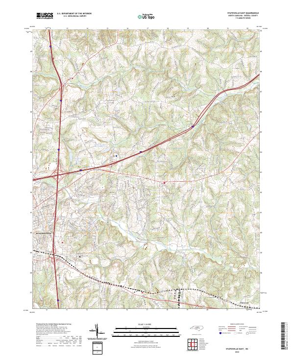
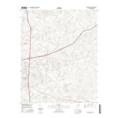
2022 Statesville East
Iredell County, NC
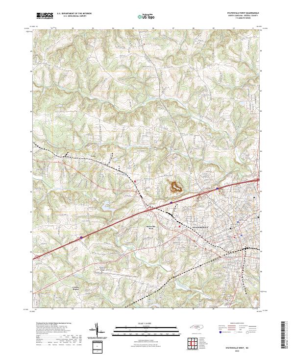
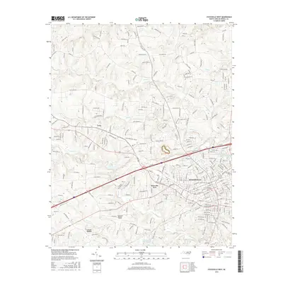
2022 Statesville West
Iredell County, NC
2023 Lake Norman North
Iredell County, NC