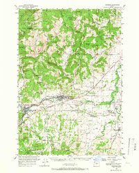
1956 Map of Sheridan
USGS Topo · Published 1966About this map
Sheridan and Willamina serve as the primary hubs of this mid-1950s landscape, where the South Yamhill River cuts through the transition between the agricultural valley and the timbered slopes of the Siuslaw National Forest. The presence of the Southern Pacific railroad line, winding alongside the river through Shipley and Ballston, illustrates the critical transportation corridor that linked local mills and grain elevators to broader markets. The southern reaches of the map show the transition into the Red Prairie and Salt Creek drainage, featuring the rural community of Buell.
Find a feature on this map
60 named features on this map. Tap any name to fly to it.
Don’t see what you’re looking for? This feature index may not catch every label — zoom into the map to look around manually.
Map Details
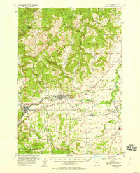
Editions of this 1956 Sheridan Map
2 editions found
Other maps of this area

1915 · Rickreall
USGS Topo · 1:31,680

1917 · Salem
USGS Topo · 1:62,500

1924 · Mc Minnville
USGS Topo · 1:48,000

1926 · Mc Minnville
USGS Topo · 1:62,500

1940 · McMinnville
USGS Topo · 1:62,500

1940 · Salem
USGS Topo · 1:62,500

1941 · Yamhill
USGS Topo · 1:62,500

1942 · Ginger Peak
USGS Topo · 1:62,500

1942 · Sheridan
USGS Topo · 1:62,500

1942 · Yamhill
USGS Topo · 1:62,500