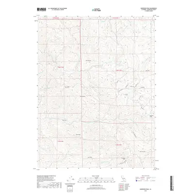
2018 Map of Sherwood Peak
USGS Topo · Published 2018About this map
Sherwood Peak and Sherwood Ridge define the high terrain of this Mendocino County landscape, where deep drainages feed the coastal river systems. The map illustrates a complex network of ridgelines and watercourses, including the Middle Fork Ten Mile River and the N Fork Ten Mile River. Named clearings or landings such as Case Opening and Ames Opening suggest historic land use patterns and points of access within the timbered hills. The winding paths of the Ft Bragg-Sherwood Rd and Stagecoach Rd follow the topography, connecting the Sherwood Valley to the surrounding peaks. These corridors, along with features like Bucha Ridge and Lake Ridge, provide a clear picture of the area's difficult geography and its historical transit routes during the late twenty-first century.
Find a feature on this map
37 named features on this map. Tap any name to fly to it.
Don’t see what you’re looking for? This feature index may not catch every label — zoom into the map to look around manually.
Map Details
Editions of this 2018 Sherwood Peak Map
This is the sole edition of this map. No revisions or reprints were ever made.
Other maps of this area

1920 · Glenblair
USGS Topo · 1:62,500

1921 · Branscomb
USGS Topo · 1:62,500

1922 · Willits
USGS Topo · 1:62,500

1942 · Willits
USGS Topo · 1:62,500

1943 · Glenblair
USGS Topo · 1:62,500

1944 · Willits
USGS Topo · 1:62,500

1951 · Branscomb
USGS Topo · 1:62,500

1951 · Laytonville
USGS Topo · 1:62,500

1957 · Ukiah
USGS Topo · 1:250,000

1960 · Ukiah
USGS Topo · 1:250,000