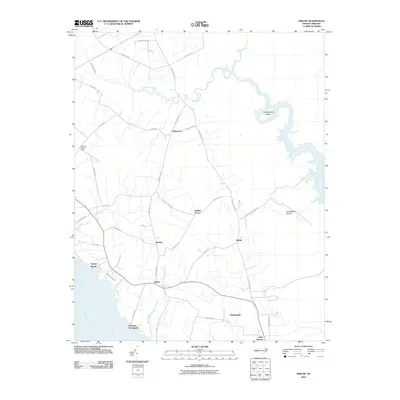
2010 Map of Shiloh
USGS Topo · Published 2010About this map
Indiantown and the surrounding coastal lowlands of Camden County are defined by a network of drainage canals and tidal waterways that separate small agrarian settlements from the vast riverine marshes. The landscape is bordered by the North River to the east and the Pasquotank River to the southwest, where waterfront communities like Taylors Beach and Elizabeth City Beach sit along the shoreline. Inland, the distribution of homes follows a distinct rural pattern along roads like N Trotman Rd and S Sandy Hook Rd, connecting historic local names such as Smiths Corner, Bartlett, and Riddle. The area’s hydrological management is evident in the straight lines of the Run Swamp Canal and East Canal, which cut through the terrain to feed into Indiantown Creek, while the Beleross Lookout Tower stands as a notable landmark overlooking the western woods.
Find a feature on this map
47 named features on this map. Tap any name to fly to it.
Don’t see what you’re looking for? This feature index may not catch every label — zoom into the map to look around manually.
Map Details
Editions of this 2010 Shiloh Map
This is the sole edition of this map. No revisions or reprints were ever made.
Other maps of this area

1940 · Barco
USGS Topo · 1:62,500

1940 · Powells Point
USGS Topo · 1:62,500

1940 · Wade Point
USGS Topo · 1:62,500

1943 · Wade Point
USGS Topo · 1:62,500

1946 · Eastville
USGS Topo · 1:250,000

1946 · Currituck Sound
USGS Topo · 1:250,000

1948 · Wade Point
USGS Topo · 1:62,500

1948 · Elizabeth City
USGS Topo · 1:62,500

1953 · Norfolk
USGS Topo · 1:250,000

1961 · Eastville
USGS Topo · 1:250,000