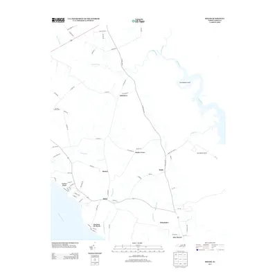
2013 Map of Shiloh
USGS Topo · Published 2013About this map
Indiantown and the surrounding coastal plains of Camden County are defined by an intricate network of waterways and low-lying landforms along the Pasquotank River. Small communities like Shiloh, Bartlett, and Philadelphia are connected by a grid of rural roads, reflecting a landscape shaped by agricultural traditions and its proximity to the water. Significant hydrologic features such as the Indiantown Cr, Run Swamp Canal, and East Canal illustrate a history of water management and drainage necessary for local land use.
Find a feature on this map
73 named features on this map. Tap any name to fly to it.
Don’t see what you’re looking for? This feature index may not catch every label — zoom into the map to look around manually.
Map Details
Editions of this 2013 Shiloh Map
This is the sole edition of this map. No revisions or reprints were ever made.
Other maps of this area

1940 · Barco
USGS Topo · 1:62,500

1940 · Powells Point
USGS Topo · 1:62,500

1940 · Wade Point
USGS Topo · 1:62,500

1943 · Wade Point
USGS Topo · 1:62,500

1946 · Eastville
USGS Topo · 1:250,000

1946 · Currituck Sound
USGS Topo · 1:250,000

1948 · Wade Point
USGS Topo · 1:62,500

1948 · Elizabeth City
USGS Topo · 1:62,500

1953 · Norfolk
USGS Topo · 1:250,000

1961 · Eastville
USGS Topo · 1:250,000