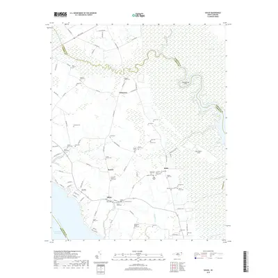
2019 Map of Shiloh
USGS Topo · Published 2019About this map
The North River and its intricate network of wetlands, including the Great Swamp and Black Swamp, define this coastal landscape on the Albemarle-Pamlico peninsula. These low-lying reaches are marked by distinct landforms like Thoroughfare Island and Garlingtons Island, which sit amidst the tidal creeks and marshes. The settlement pattern is largely linear, following higher ground along roads like N River Rd, where the historic community of Indiantown is situated.
Find a feature on this map
102 named features on this map. Tap any name to fly to it.
Don’t see what you’re looking for? This feature index may not catch every label — zoom into the map to look around manually.
Map Details
Editions of this 2019 Shiloh Map
This is the sole edition of this map. No revisions or reprints were ever made.
Other maps of this area
1940 · Barco
USGS Topo · 1:62,500
1940 · Powells Point
USGS Topo · 1:62,500
1940 · Wade Point
USGS Topo · 1:62,500
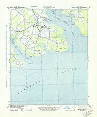
1943 · Wade Point
USGS Topo · 1:62,500
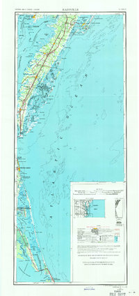
1946 · Eastville
USGS Topo · 1:250,000
1946 · Currituck Sound
USGS Topo · 1:250,000
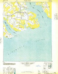
1948 · Wade Point
USGS Topo · 1:62,500
1948 · Elizabeth City
USGS Topo · 1:62,500

1953 · Norfolk
USGS Topo · 1:250,000
1961 · Eastville
USGS Topo · 1:250,000