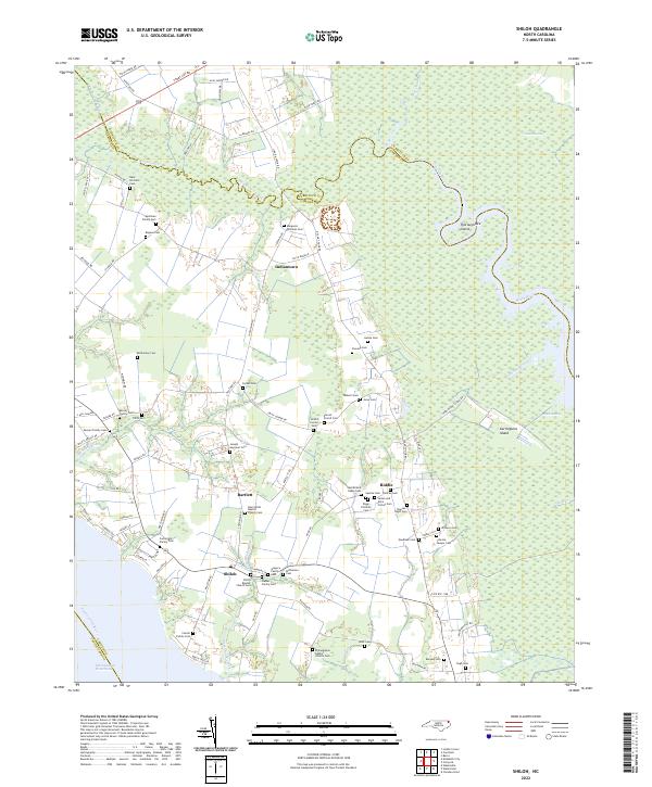
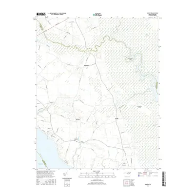
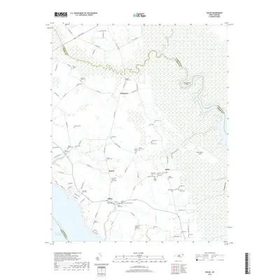
2022 Map of Shiloh
USGS Topo · Published 2022About this map
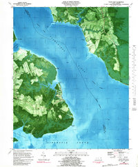
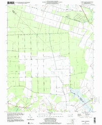
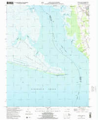
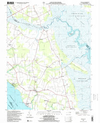
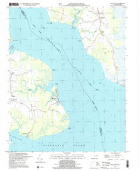
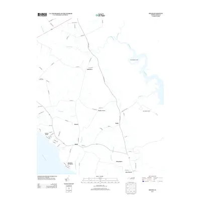
Indiantown and the surrounding coastal plains of Camden County define this landscape, where the North River meets an intricate network of marshes and swampy islands. The terrain is characterized by a dense concentration of family burial grounds and church yards, such as the James and Alice Forbes Cem and the Philadelphia Baptist Church Cem, reflecting generations of deep-rooted community settlement. The map illustrates a rural economy tied closely to the water, with the Intracoastal Waterway cutting through the Pasquotank River to the southwest. Significant wetlands like the Great Swamp and Black Swamp dominate the eastern portion of the quadrangle, surrounding landforms like Thoroughfare Island and Garlingtons Island. This modern survey reveals how historic family tracts in Shiloh and Bartlett have persisted alongside the preserved natural drainage systems of the Inner Banks.
Find a feature on this map
100 named features on this map. Tap any name to fly to it.
Don’t see what you’re looking for? This feature index may not catch every label — zoom into the map to look around manually.
Map Details
Editions of this 2022 Shiloh Map
This is the sole edition of this map. No revisions or reprints were ever made.
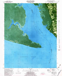
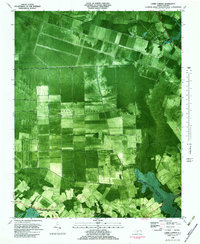
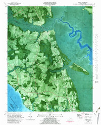
Historical Maps of Alder Branch Through Time
28 maps found
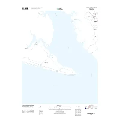
1982 Camden Point
Camden County, NC
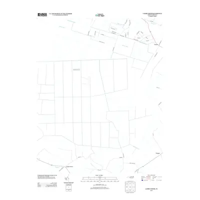
1982 Lambs Corner
Camden County, NC
1982 Shiloh
Camden County, NC
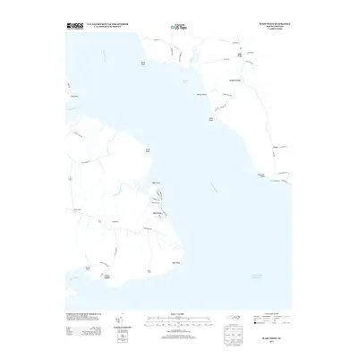
1982 Wade Point
Camden County, NC
1997 Lambs Corner
Camden County, NC
1999 Camden Point
Camden County, NC
1999 Shiloh
Camden County, NC
1999 Wade Point
Camden County, NC
2010 Camden Point
Camden County, NC
2010 Lambs Corner
Camden County, NC
2010 Shiloh
Camden County, NC

2010 Wade Point
Camden County, NC
2013 Camden Point
Camden County, NC
2013 Lambs Corner
Camden County, NC
2013 Shiloh
Camden County, NC
2013 Wade Point
Camden County, NC
2016 Camden Point
Camden County, NC
2016 Lambs Corner
Camden County, NC
2016 Shiloh
Camden County, NC
2016 Wade Point
Camden County, NC
2019 Camden Point
Camden County, NC
2019 Lambs Corner
Camden County, NC
2019 Shiloh
Camden County, NC
2019 Wade Point
Camden County, NC
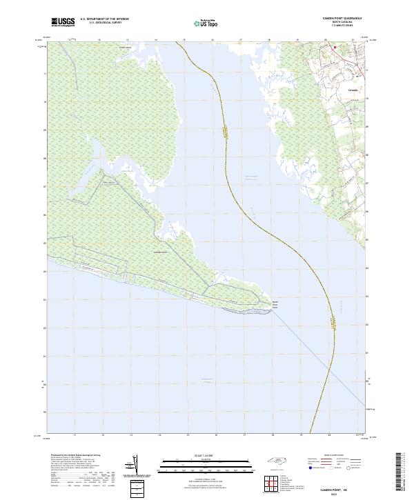
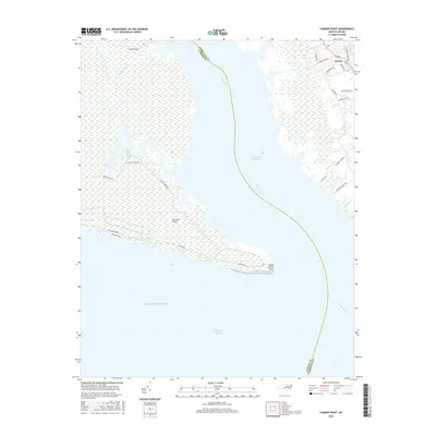
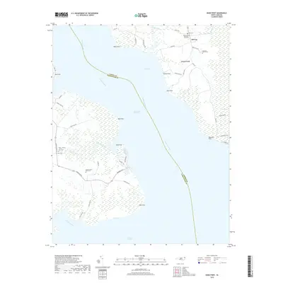
2022 Camden Point
Camden County, NC
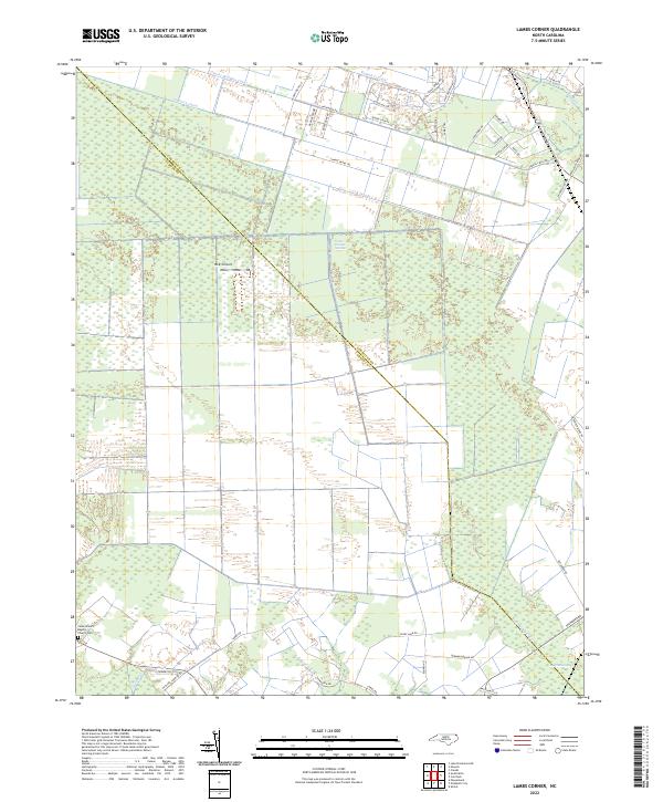
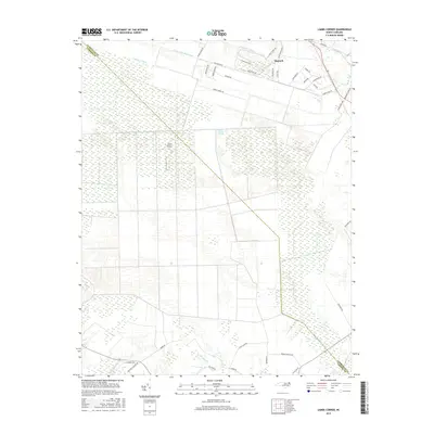
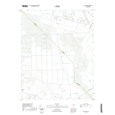
2022 Lambs Corner
Camden County, NC
2022 Shiloh
Camden County, NC
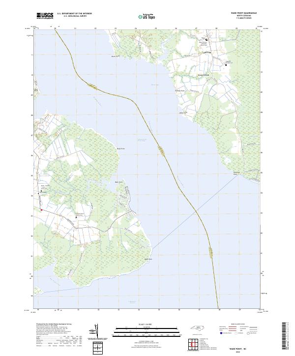
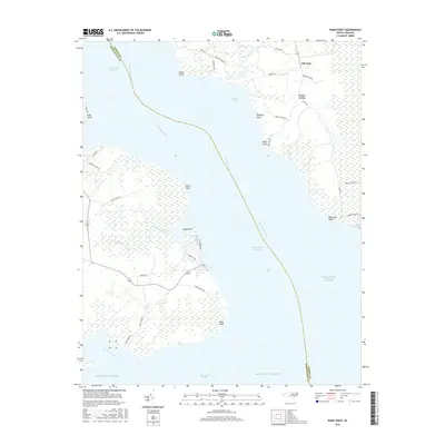
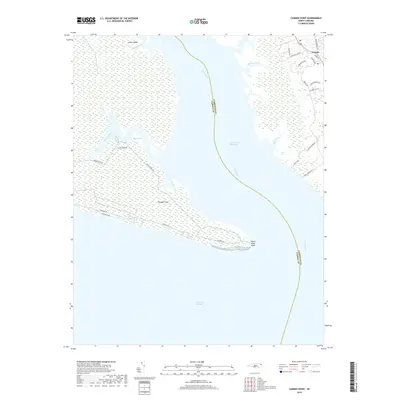
2022 Wade Point
Camden County, NC