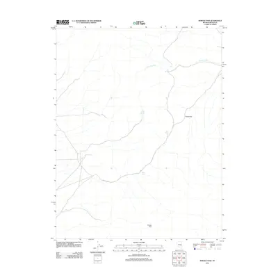
2012 Map of Shingle Pass
USGS Topo · Published 2012About this map
Shingle Pass serves as the primary geographical focal point in this high-elevation desert landscape, where water sources are the most critical markers of survival and navigation. The terrain is defined by a network of isolated water points, including Little Geyser Spring, Granite Spring, and Shingle Spring, which trace the drainage patterns through the high country. To the south, Shingle Peak overlooks the winding Shingle Pass Rd, a route that utilizes the natural break in the topography to cross this arid stretch of Nevada. The drainage of Big Spring Wash and the presence of Silver Springs further emphasize the reliance on these rare hydrologic features. This 2012 survey documents the persistent trails and vital springs that have historically dictated human movement through the region.
Find a feature on this map
9 named features on this map. Tap any name to fly to it.
Don’t see what you’re looking for? This feature index may not catch every label — zoom into the map to look around manually.
Map Details
Editions of this 2012 Shingle Pass Map
This is the sole edition of this map. No revisions or reprints were ever made.
Other maps of this area

1956 · Lund
USGS Topo · 1:250,000

1960 · Lund
USGS Topo · 1:250,000

1969 · Shingle Pass
USGS Topo · 1:24,000

1969 · Sunnyside
USGS Topo · 1:24,000

1969 · Moorman Spring SE
USGS Topo · 1:24,000

1969 · Parker Station
USGS Topo · 1:24,000

1969 · Shingle Pass SE
USGS Topo · 1:24,000

1969 · Moorman Spring NE
USGS Topo · 1:24,000

1969 · Haggerty Spring
USGS Topo · 1:24,000

1971 · Sidehill Spring
USGS Topo · 1:24,000