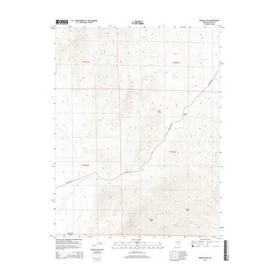
2015 Map of Shingle Pass
USGS Topo · Published 2015About this map
The Egan Range dominates this portion of eastern Nevada, where the high desert terrain is punctuated by numerous isolated water sources. Crucial to travelers and livestock in this arid environment, sites like Little Geyser Spring, Granite Spring, and Silver Springs mark the landscape. The primary corridor through the mountains is Shingle Pass, a natural gap that has historically connected the White River Valley to the west with the rugged country to the east.
Find a feature on this map
16 named features on this map. Tap any name to fly to it.
Don’t see what you’re looking for? This feature index may not catch every label — zoom into the map to look around manually.
Map Details
Editions of this 2015 Shingle Pass Map
This is the sole edition of this map. No revisions or reprints were ever made.
Other maps of this area

1956 · Lund
USGS Topo · 1:250,000

1960 · Lund
USGS Topo · 1:250,000

1969 · Shingle Pass
USGS Topo · 1:24,000

1969 · Sunnyside
USGS Topo · 1:24,000

1969 · Moorman Spring SE
USGS Topo · 1:24,000

1969 · Parker Station
USGS Topo · 1:24,000

1969 · Shingle Pass SE
USGS Topo · 1:24,000

1969 · Moorman Spring NE
USGS Topo · 1:24,000

1969 · Haggerty Spring
USGS Topo · 1:24,000

1971 · Sidehill Spring
USGS Topo · 1:24,000