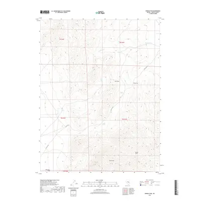
2018 Map of Shingle Pass
USGS Topo · Published 2018About this map
The Egan Range dominates this portion of the Great Basin, where the high-altitude terrain is defined by dramatic peaks and essential water sources. Shingle Peak and the namesake Shingle Pass serve as the primary landmarks for navigating this section of the range, which overlooks the broad White River Valley to the west. The landscape is a network of vital hydrologic features including Silver Springs, Little Geyser Spring, and Granite Spring, which have long been critical for survival and movement through the high desert.
Find a feature on this map
17 named features on this map. Tap any name to fly to it.
Don’t see what you’re looking for? This feature index may not catch every label — zoom into the map to look around manually.
Map Details
Editions of this 2018 Shingle Pass Map
This is the sole edition of this map. No revisions or reprints were ever made.
Other maps of this area

1956 · Lund
USGS Topo · 1:250,000

1960 · Lund
USGS Topo · 1:250,000

1969 · Shingle Pass
USGS Topo · 1:24,000

1969 · Sunnyside
USGS Topo · 1:24,000

1969 · Moorman Spring SE
USGS Topo · 1:24,000

1969 · Parker Station
USGS Topo · 1:24,000

1969 · Shingle Pass SE
USGS Topo · 1:24,000

1969 · Moorman Spring NE
USGS Topo · 1:24,000

1969 · Haggerty Spring
USGS Topo · 1:24,000

1971 · Sidehill Spring
USGS Topo · 1:24,000