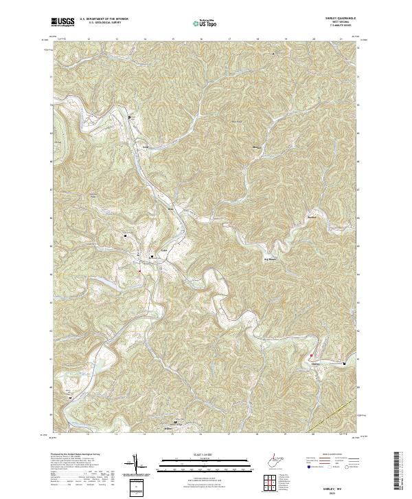
2023 Map of Shirley
USGS Topo · Published 2023About this map
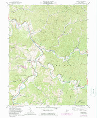
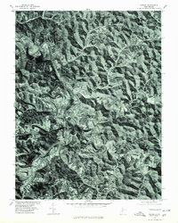
Middle Island Creek winds through the heart of this Appalachian landscape, serving as the central drainage for a dense network of runs and hollows including Conaway Run and Indian Creek. Small settlements like Tyler, Blue, and Shirley are positioned at key intersections of the valley floor, reflecting a traditional West Virginia settlement pattern where community life concentrated along the creek bottoms. The geography is defined by prominent high ground such as Blue Ridge and Klondike Ridge, which separate the various watersheds.
Find a feature on this map
79 named features on this map. Tap any name to fly to it.
Don’t see what you’re looking for? This feature index may not catch every label — zoom into the map to look around manually.
Map Details
Editions of this 2023 Shirley Map
This is the sole edition of this map. No revisions or reprints were ever made.