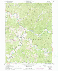
1961 Map of Shirley
USGS Topo · Published 1989About this map
Middle Island Creek winds through the hills of Tyler County, anchoring a landscape of small agricultural settlements and valley hamlets. The community of Centerville (Alma PO) serves as a central point, surrounded by family-named landmarks like Smith Cem and Pierpont Cem. The map illustrates a region defined by its watercourses, where names like Gorrell Run, Muddy Run, and McElroy Creek mark the narrow bottoms between high ridges such as Ellsworth Ridge and Blue Ridge.
Find a feature on this map
64 named features on this map. Tap any name to fly to it.
Don’t see what you’re looking for? This feature index may not catch every label — zoom into the map to look around manually.
Map Details
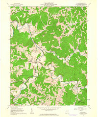
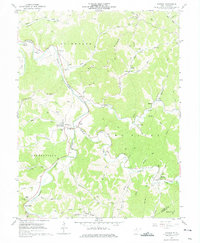
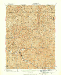
Editions of this 1961 Shirley Map
3 editions found
Other maps of this area

1903 · Littleton
USGS Topo · 1:62,500

1905 · Centerpoint
USGS Topo · 1:62,500

1905 · West Union
USGS Topo · 1:62,500

1905 · Littleton
USGS Topo · 1:62,500

1906 · New Martinsville
USGS Topo · 1:62,500

1924 · New Martinsville
USGS Topo · 1:62,500

1924 · Centerpoint
USGS Topo · 1:62,500
1924 · Littleton
USGS Topo · 1:62,500

1924 · West Union
USGS Topo · 1:62,500

1925 · Centerpoint
USGS Topo · 1:62,500