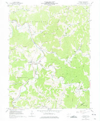
1961 Map of Shirley
USGS Topo · Published 1975About this map
Middle Island Creek winds through the heart of this Tyler County landscape, anchoring a network of small valley settlements and rural institutions in the early 1960s. The village of Centerville (Alma PO) serves as a primary hub, accompanied by other established communities like Shirley and Josephs Mills. This era reflects a landscape transitioning between agricultural roots and industrial utility, evidenced by the numerous Gas Wells and the prominent Pipeline cutting across the ridges.
Find a feature on this map
61 named features on this map. Tap any name to fly to it.
Don’t see what you’re looking for? This feature index may not catch every label — zoom into the map to look around manually.
Map Details
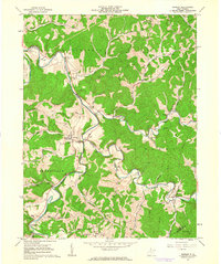
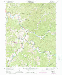
Editions of this 1961 Shirley Map
3 editions found
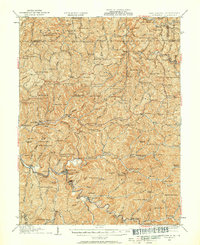
Other maps of this area

1903 · Littleton
USGS Topo · 1:62,500

1905 · Centerpoint
USGS Topo · 1:62,500

1905 · West Union
USGS Topo · 1:62,500

1905 · Littleton
USGS Topo · 1:62,500

1906 · New Martinsville
USGS Topo · 1:62,500

1924 · New Martinsville
USGS Topo · 1:62,500

1924 · Centerpoint
USGS Topo · 1:62,500
1924 · Littleton
USGS Topo · 1:62,500

1924 · West Union
USGS Topo · 1:62,500

1925 · Centerpoint
USGS Topo · 1:62,500