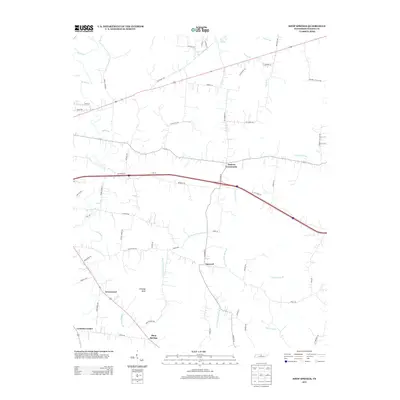
2013 Map of Shop Springs
USGS Topo · Published 2013About this map
Tuckers Crossroads and Shop Springs anchor this rural Wilson County landscape, where the headwaters of numerous forks and branches weave through the rolling terrain. The map documents a transition from traditional pike roads, such as Old Rome Pike, to modern thoroughfares that bypass older hamlets like Linwood and Greenwood. The central prominence of Jennings Knob overlooks a complex network of waterways, including the W Prong Jennings Fork and E Prong Jennings Fork, which historically dictated the placement of small agricultural settlements.
Find a feature on this map
61 named features on this map. Tap any name to fly to it.
Don’t see what you’re looking for? This feature index may not catch every label — zoom into the map to look around manually.
Map Details
Editions of this 2013 Shop Springs Map
This is the sole edition of this map. No revisions or reprints were ever made.
Other maps of this area

1942 · Statesville
USGS Topo · 1:100,000

1942 · Gallatin
USGS Topo · 1:100,000

1942 · Lebanon
USGS Topo · 1:100,000

1951 · Lebanon
USGS Topo · 1:24,000

1955 · Hunters Point
USGS Topo · 1:24,000

1956 · Vine
USGS Topo · 1:24,000

1956 · Nashville
USGS Topo · 1:250,000

1958 · New Middleton
USGS Topo · 1:24,000

1958 · Bellwood
USGS Topo · 1:24,000

1958 · Watertown
USGS Topo · 1:24,000