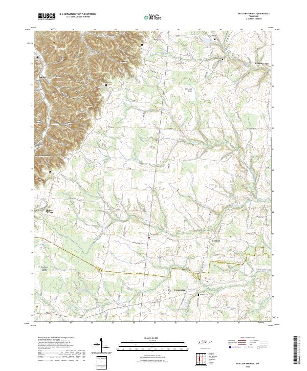
2022 Map of Short Mountain
USGS Topo · Published 2022About this map
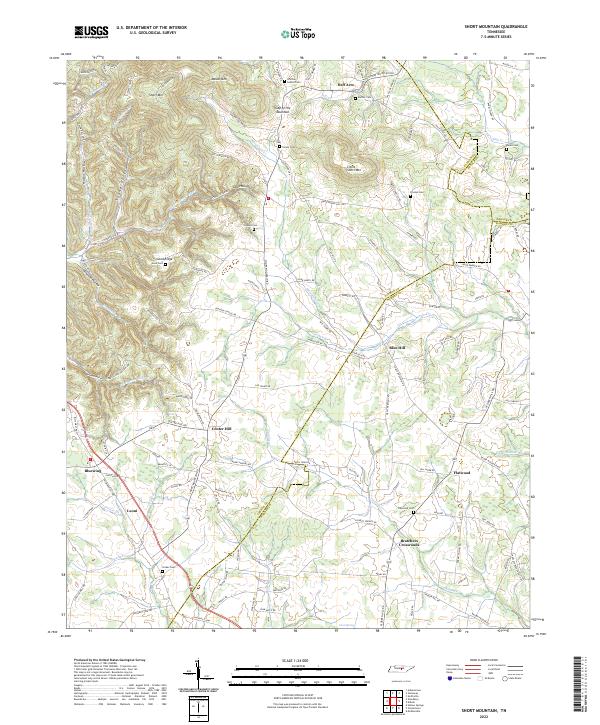
Short Mountain and Mason Mountain dominate the topography of this Tennessee landscape where the borders of Cannon, DeKalb, and Warren counties converge. The high elevations are cut by a complex system of drainage, including the headwaters of Charles Creek and the East Fork Stones River. The settlement pattern reflects a deeply rooted rural history, with small communities like Bratchers Crossroads and Center Hill connected by a network of winding roads. Numerous family and community burial grounds, such as Osment Cemetery and Grizzle Gunter Cemetery, are scattered across the ridges and hollows, providing valuable clues for genealogical research. Distinctive landmarks like Rainbow Falls and the Gap of the Mountain punctuate the terrain, while roads like Sally Parton Road and Taylor Women Road suggest a landscape shaped by local families and historic transit routes.
Find a feature on this map
128 named features on this map. Tap any name to fly to it.
Don’t see what you’re looking for? This feature index may not catch every label — zoom into the map to look around manually.
Map Details
Editions of this 2022 Short Mountain Map
This is the sole edition of this map. No revisions or reprints were ever made.
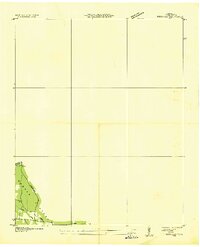
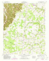
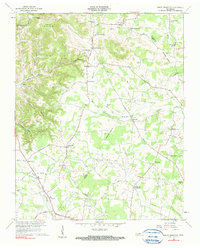
Historical Maps of Half Acre Through Time
5 maps found