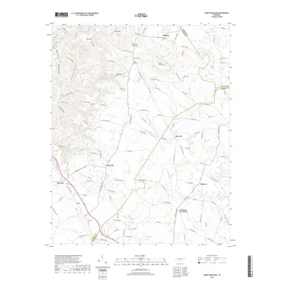
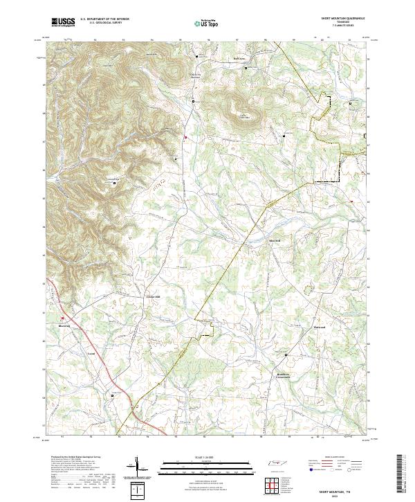
1960 Map of Short Mountain
USGS Topo · Published 1990About this map
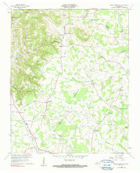
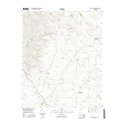
Short Mountain rises above a landscape of tight hollows and rural crossroads where the boundaries of Cannon, De Kalb, and Warren counties meet. This 1960 field check reveals a community defined by its proximity to water and high ground, with settlements like Half Acre and Bratchers Crossroads serving as local anchors. The map preserves the locations of numerous family-named landmarks and rural institutions, including Osment Chapel and Short Mountain Sch, which provided the social infrastructure for these remote ridges.
Find a feature on this map
63 named features on this map. Tap any name to fly to it.
Don’t see what you’re looking for? This feature index may not catch every label — zoom into the map to look around manually.
Map Details
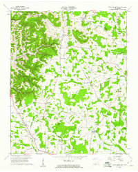
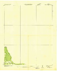
Editions of this 1960 Short Mountain Map
2 editions found
Historical Maps of Bluewing Through Time
13 maps found
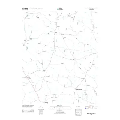
1936 Petty Gap
Cannon County, TN
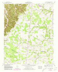
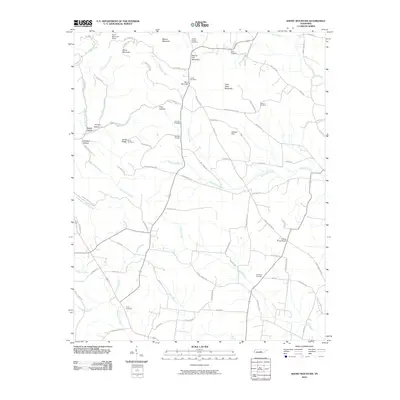
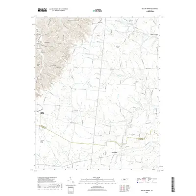
1953 Hollow Springs
Cannon County, TN
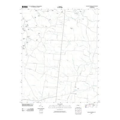
1960 Short Mountain
Cannon County, TN
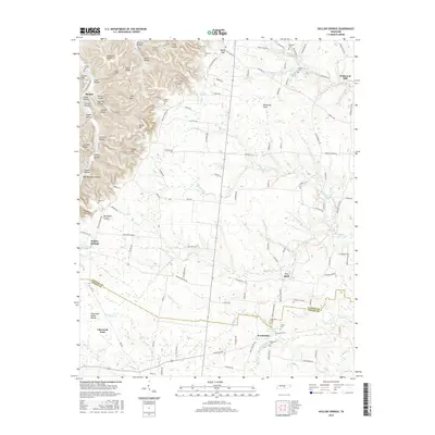
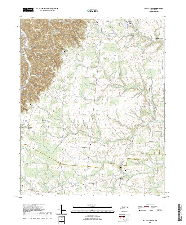
2010 Hollow Springs
Cannon County, TN
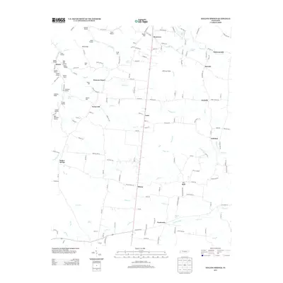
2010 Short Mountain
Cannon County, TN
2013 Hollow Springs
Cannon County, TN
2013 Short Mountain
Cannon County, TN
2016 Hollow Springs
Cannon County, TN
2016 Short Mountain
Cannon County, TN
2019 Hollow Springs
Cannon County, TN
2019 Short Mountain
Cannon County, TN
2022 Hollow Springs
Cannon County, TN
2022 Short Mountain
Cannon County, TN