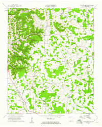
1960 Map of Short Mountain
USGS Topo · Published 1961About this map
Short Mountain dominates the northwestern landscape of this Cannon County region, creating a distinctive divide between the high plateaus and the lower farming valleys. In the early 1960s, the area supported a network of rural communities centered around landmarks like Osment Chapel and Osment Cem. The settlement pattern follows the local topography, with places like Center Hill and Bluewing situated near the intersection of Center Hill Road and Short Mountain Road. Educational and spiritual life is well-documented through the presence of the Short Mountain Sch and Mahathy Hill Sch, alongside numerous churches like Stewart Chapel. The land is deeply etched by water and geology, featuring Devils Hole Cave and the headwaters of Sink Creek, while the eastern portion of the map shows the transition into Warren County and De Kalb County.
Find a feature on this map
54 named features on this map. Tap any name to fly to it.
Don’t see what you’re looking for? This feature index may not catch every label — zoom into the map to look around manually.
Map Details
Editions of this 1960 Short Mountain Map
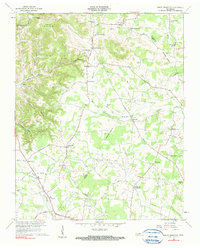
2 editions found
Other maps of this area

1893 · Mc Minnville
USGS Topo · 1:125,000

1895 · Mc Minnville
USGS Topo · 1:125,000

1908 · Woodbury
USGS Topo · 1:62,500

1913 · Hollow Springs
USGS Topo · 1:62,500

1936 · Petty Gap
USGS Topo · 1:24,000

1942 · Statesville
USGS Topo · 1:100,000

1943 · Mc Minnville
USGS Topo · 1:100,000

1952 · Centertown
USGS Topo · 1:24,000

1953 · Chattanooga
USGS Topo · 1:250,000

1953 · Centertown
USGS Topo · 1:24,000