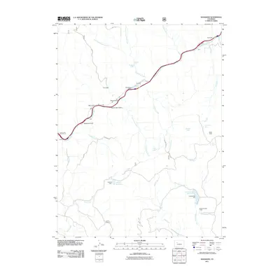
2011 Map of Shoshone
USGS Topo · Published 2011About this map
The Colorado River carves a deep path through this Garfield County corridor, where modern infrastructure meets geological landmarks. Hydroelectric and water management are central to the landscape, anchored by the Shoshone Dam near the settlement of Shoshone and the larger Consolidated Reservoir to the southeast. The map highlights significant natural features along the canyon walls, including the renowned Hanging Lake and Bridal Veil Falls, as well as the subterranean Hubbard Cave.
Find a feature on this map
44 named features on this map. Tap any name to fly to it.
Don’t see what you’re looking for? This feature index may not catch every label — zoom into the map to look around manually.
Map Details
Editions of this 2011 Shoshone Map
This is the sole edition of this map. No revisions or reprints were ever made.
Other maps of this area

1927 · Glenwood Springs
USGS Topo · 1:125,000

1930 · Glenwood Springs
USGS Topo · 1:125,000

1957 · Leadville
USGS Topo · 1:250,000

1959 · Leadville
USGS Topo · 1:250,000

1960 · Leadville
USGS Topo · 1:250,000

1961 · Cattle Creek
USGS Topo · 1:24,000

1961 · Carbondale
USGS Topo · 1:24,000

1961 · Leon
USGS Topo · 1:24,000

1961 · Cottonwood Pass
USGS Topo · 1:24,000

1961 · Shoshone
USGS Topo · 1:24,000