Loading...
Loading map...2022 Map of Shullsburg
USGS Topo · Published 2022About this map
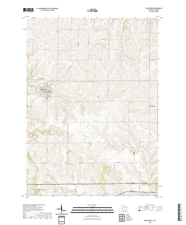
The city of Shullsburg serves as the primary hub of this Lafayette County landscape, where the street grid transitions into a dense network of country roads following the winding course of Shullsburg Br. Situated just north of the Wisconsin-Illinois state line, the area is defined by its ridge-and-valley topography, culminating in prominent elevations like White Hill and the northern slopes of Charles Mound.
Find a feature on this map
68 named features on this map. Tap any name to fly to it.
Don’t see what you’re looking for? This feature index may not catch every label — zoom into the map to look around manually.
Map Details
Date Portrayed2022
Date Published2022
PublisherU.S. Geological Survey
Map TypeTopographic
Scale1:24000
Physical Dimensions24 x 29 inches
Editions of this 2022 Shullsburg Map
This is the sole edition of this map. No revisions or reprints were ever made.
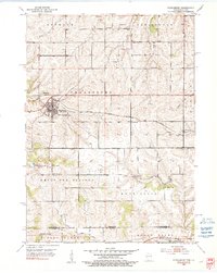
Historical Maps of Shullsburg Through Time
Featured Locations
Source Details
SourceU.S. Geological Survey
CopyrightPublic Domain