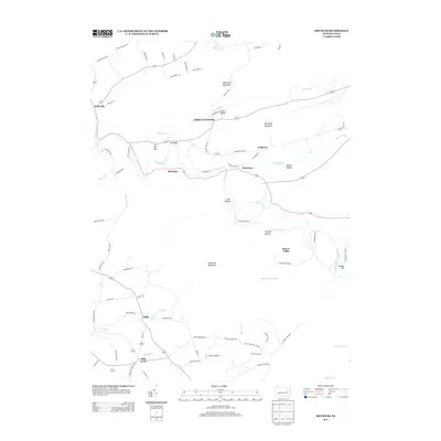
2013 Map of Shumans
USGS Topo · Published 2013About this map
Catawissa Creek meanders through a landscape defined by prominent ridges and narrow valleys, anchoring the historic small-scale settlements of Columbia County. The winding waterway passes near the village of McCauley, while Full Mill Hill and Dry Ridge rise to the north, suggesting the varied topography that influenced early road placement and land use. To the east, the area known as Scotch Valley and the settlement of Shumans sit tucked below the slopes of McCauley Mountain, where Beaver Run flows through the fertile Beaver Valley.
Find a feature on this map
78 named features on this map. Tap any name to fly to it.
Don’t see what you’re looking for? This feature index may not catch every label — zoom into the map to look around manually.
Map Details
Editions of this 2013 Shumans Map
This is the sole edition of this map. No revisions or reprints were ever made.
Other maps of this area

1889 · Catawissa
USGS Topo · 1:62,500

1892 · Catawissa
USGS Topo · 1:62,500

1892 · Mahanoy
USGS Topo · 1:62,500

1893 · Mahanoy
USGS Topo · 1:62,500

1894 · Catawissa
USGS Topo · 1:62,500

1894 · Shickshinny
USGS Topo · 1:62,500

1894 · Bloomsburg
USGS Topo · 1:62,500

1946 · Berwick
USGS Topo · 1:31,680

1947 · Bloomsburg
USGS Topo · 1:24,000

1947 · Ashland
USGS Topo · 1:24,000
Featured Places
- Locust Township, PA
- Main Township, PA
- Dogtown, Beaver Township
- Mifflin Cross Roads, Beaver Township
- Beaver Township, PA