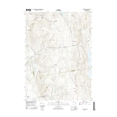
2015 Map of Shutesbury
USGS Topo · Published 2015About this map
Quabbin Reservoir defines the eastern edge of this terrain, where the W Br Swift River and numerous brooks like Cobb Brook and Atherton Brook drain toward the massive basin. The landscape is marked by a series of prominent peaks and ridgelines, including Mt Mineral, Brushy Mtn, and Mt Orient, interspersed with historic hilltop settlements and small valley communities. The New England National Scenic Trail winds through the central highlands, tracing a path past The Plains and Poverty Mtn. Local history is anchored by several burial grounds, such as Plainview Cem and Valley Cem, which sit alongside established rural roads. From the northern waters of Lake Wyola Reservoir down to the village of Pelham, the map reveals a community defined by its water sources and high-elevation landmarks like Rattlesnake Gutter and January Hills.
Find a feature on this map
96 named features on this map. Tap any name to fly to it.
Don’t see what you’re looking for? This feature index may not catch every label — zoom into the map to look around manually.
Map Details
Editions of this 2015 Shutesbury Map
This is the sole edition of this map. No revisions or reprints were ever made.
Other maps of this area

1885 · Northampton
USGS Topo · 1:62,500

1886 · Northampton
USGS Topo · 1:62,500

1887 · Warwick
USGS Topo · 1:62,500

1887 · Belchertown
USGS Topo · 1:62,500

1889 · Warwick
USGS Topo · 1:62,500

1890 · Belchertown
USGS Topo · 1:62,500

1890 · Greenfield
USGS Topo · 1:62,500

1891 · Northampton
USGS Topo · 1:62,500

1893 · Northampton
USGS Topo · 1:62,500

1893 · Belchertown
USGS Topo · 1:62,500