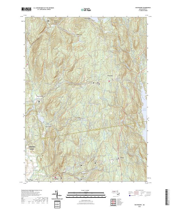
2024 Map of Shutesbury
USGS Topo · Published 2024About this map
Shutesbury serves as the focal point of this Massachusetts landscape, where the wooded uplands of Franklin and Hampshire counties meet the northwestern reach of the Quabbin Reservoir. The terrain is defined by a series of prominent peaks and ridges, including Brushy Mtn, Mt Mineral, and the January Hills, which separate small agricultural and residential pockets like Moores Corner and Baconville. This modern survey reveals a dense network of local history, particularly through its preservation of numerous small burial sites such as the Arnold Burial Ground, Quaker Burying Ground, and the Jewish Community Association of Amherst Cem. The presence of the New England National Scenic Trl cutting through the center of the quadrangle highlights the area's contemporary role as a corridor for conservation and outdoor recreation, while established settlements like Pelham and East Leverett maintain their traditional footprints along the winding roads that follow the drainage of the Sawmill River and Amethyst Brook.
Find a feature on this map
112 named features on this map. Tap any name to fly to it.
Don’t see what you’re looking for? This feature index may not catch every label — zoom into the map to look around manually.
Map Details
Editions of this 2024 Shutesbury Map
This is the sole edition of this map. No revisions or reprints were ever made.
Other maps of this area

1885 · Northampton
USGS Topo · 1:62,500

1886 · Northampton
USGS Topo · 1:62,500

1887 · Warwick
USGS Topo · 1:62,500

1887 · Belchertown
USGS Topo · 1:62,500

1889 · Warwick
USGS Topo · 1:62,500

1890 · Belchertown
USGS Topo · 1:62,500

1890 · Greenfield
USGS Topo · 1:62,500

1891 · Northampton
USGS Topo · 1:62,500

1893 · Northampton
USGS Topo · 1:62,500

1893 · Belchertown
USGS Topo · 1:62,500