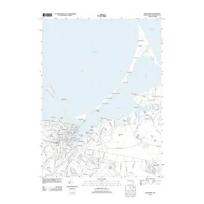
2012 Map of Siasconset
USGS Topo · Published 2012About this map
Nantucket Island's maritime character is centered around Nantucket Harbor, where a complex network of wharves and navigation lights defines the waterfront. The map captures the dense historical core of the town, featuring Brant Point Lighthouse and the iconic Old North Wharf alongside the Nantucket Shipyard. This shoreline is not just a commercial hub but a center for transportation, shown through the Steamship Authority Ferry routes connecting to the mainland.
Find a feature on this map
207 named features on this map. Tap any name to fly to it.
Don’t see what you’re looking for? This feature index may not catch every label — zoom into the map to look around manually.
Map Details
Editions of this 2012 Siasconset Map
This is the sole edition of this map. No revisions or reprints were ever made.
Other maps of this area

1889 · Nantucket
USGS Topo · 1:62,500

1893 · Nantucket
USGS Topo · 1:62,500

1901 · Nantucket
USGS Topo · 1:62,500

1942 · Nantucket
USGS Topo · 1:125,000

1945 · Nantucket
USGS Topo · 1:31,680

1945 · Siasconset
USGS Topo · 1:31,680

1945 · Great Point
USGS Topo · 1:31,680

1947 · Providence
USGS Topo · 1:250,000

1948 · Providence
USGS Topo · 1:250,000

1951 · Great Point
USGS Topo · 1:31,680