
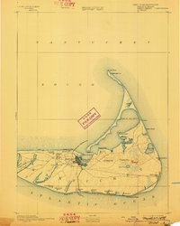
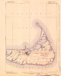
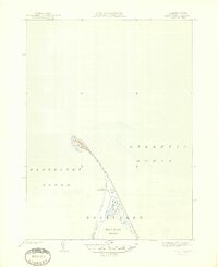
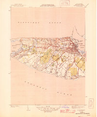
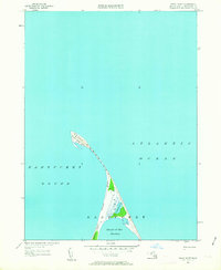
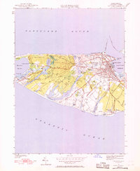
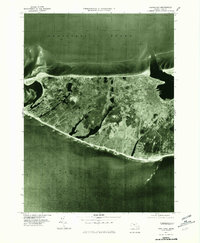
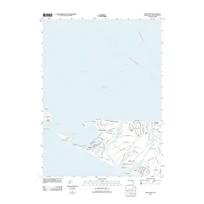
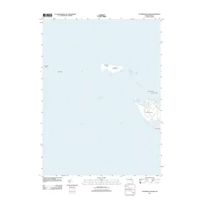
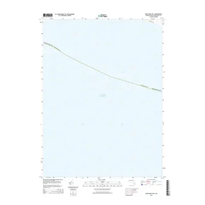
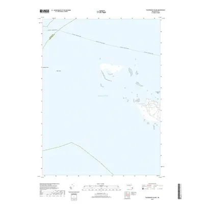
1942 Map of Nantucket
USGS Topo · Published 1943About this map
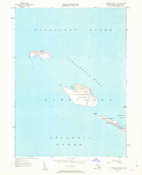
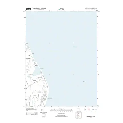
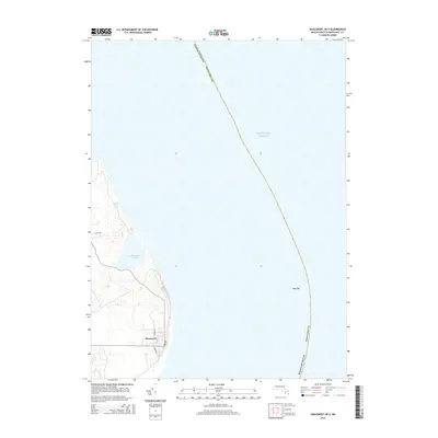
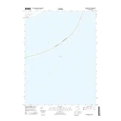
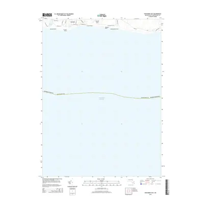
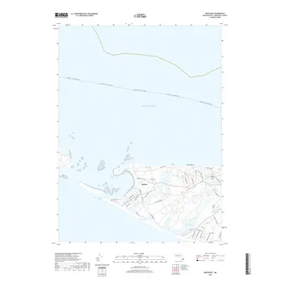
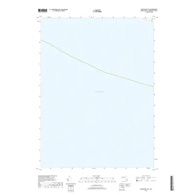
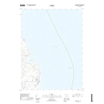
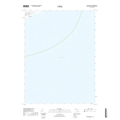
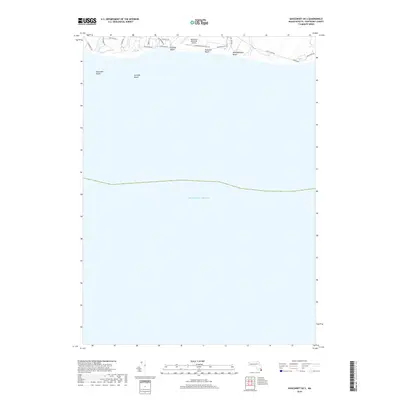
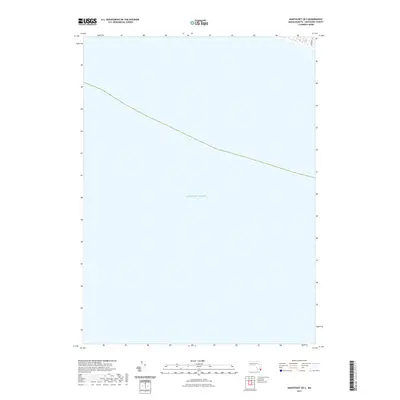
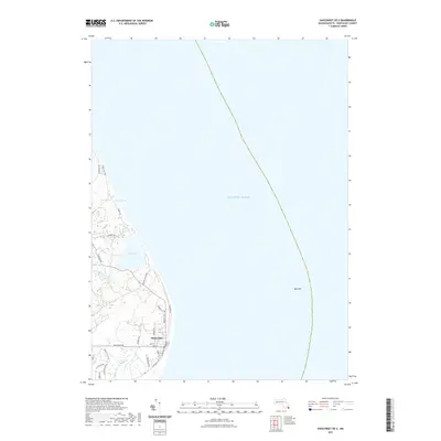
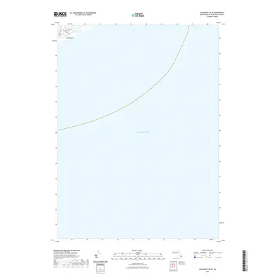
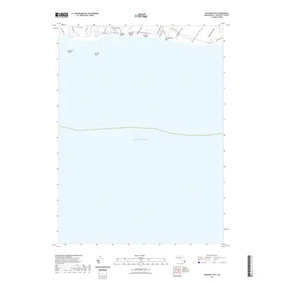
The Steamship Ferry route connects the mainland to the storied shores of Nantucket and Edgartown in this World War II era survey. The map details the intricate maritime geography of the islands, from the shifting sands of Coskata Beach to the strategically placed life-saving stations at Madd Aket LSS and Coskata LSS. On the eastern end of the island, small fishing and summer communities like Polpis, Quidnet, and Siasconset are shown connected by a network of early roads, predating modern development. The coastline is defined by features like Haulover Break and the prominent Sankaty Head, illustrating the constant environmental forces shaping the shoreline. Farther west, Chappaquiddick Id and Tuckernuck I sit as quieter outposts, separated by the deep waters of the Muskeget Channel.
Find a feature on this map
66 named features on this map. Tap any name to fly to it.
Don’t see what you’re looking for? This feature index may not catch every label — zoom into the map to look around manually.
Map Details
Editions of this 1942 Nantucket Map
This is the sole edition of this map. No revisions or reprints were ever made.
Historical Maps of Mashpee Through Time
60 maps found

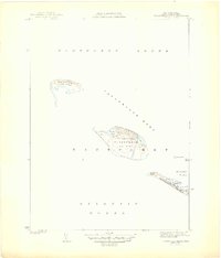
1887 Muskeget
Nantucket County, MA

1889 Muskeget
Nantucket County, MA

1889 Nantucket
Nantucket County, MA

1893 Muskeget
Nantucket County, MA
1893 Nantucket
Nantucket County, MA
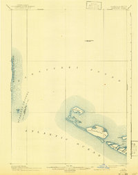
1899 Muskeget
Nantucket County, MA
1901 Nantucket
Nantucket County, MA
1942 Nantucket
Nantucket County, MA
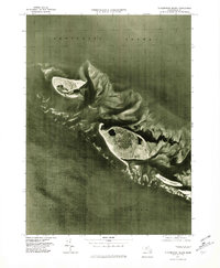
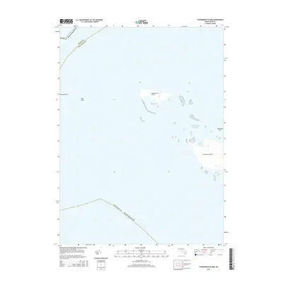
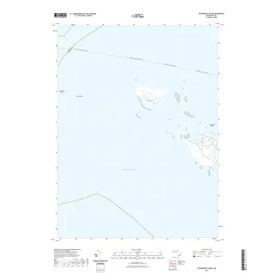
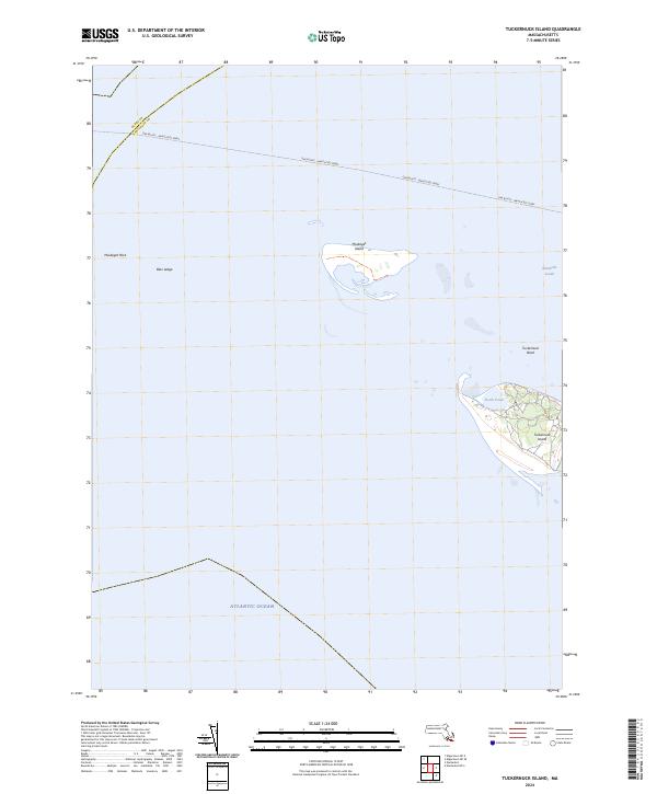
1944 Tuckernuck Island
Nantucket County, MA
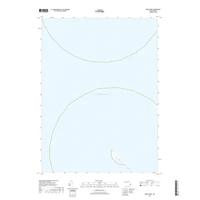
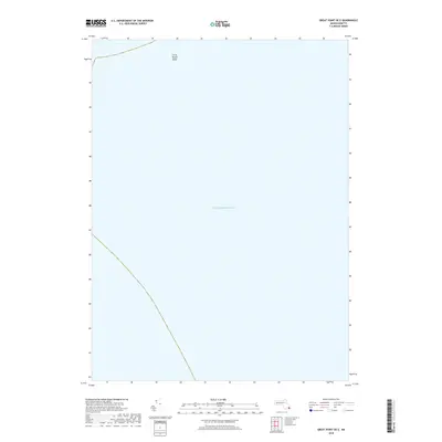
1945 Great Point
Nantucket County, MA
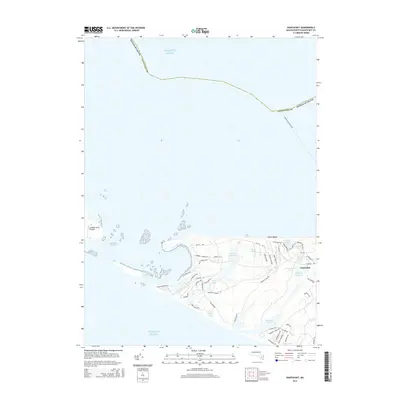
1945 Nantucket
Nantucket County, MA
1951 Great Point
Nantucket County, MA
1951 Nantucket
Nantucket County, MA
1951 Tuckernuck Island
Nantucket County, MA
1972 Great Point
Nantucket County, MA
1972 Nantucket
Nantucket County, MA
1972 Tuckernuck Island
Nantucket County, MA

1977 Great Point
Nantucket County, MA
1977 Nantucket
Nantucket County, MA
1977 Tuckernuck Island
Nantucket County, MA
2012 Great Point
Nantucket County, MA
2012 Great Point OE E
Nantucket County, MA
2012 Nantucket
Nantucket County, MA

2012 Nantucket OE S
Nantucket County, MA
2012 Siasconset OE E
Nantucket County, MA
2012 Siasconset OE SE
Nantucket County, MA
2012 Siasconset OE S
Nantucket County, MA
2012 Tuckernuck Island
Nantucket County, MA
2015 Great Point
Nantucket County, MA
2015 Great Point OE E
Nantucket County, MA
2015 Nantucket
Nantucket County, MA
2015 Nantucket OE S
Nantucket County, MA
2015 Siasconset OE E
Nantucket County, MA
2015 Siasconset OE SE
Nantucket County, MA
2015 Siasconset OE S
Nantucket County, MA
2015 Tuckernuck Island
Nantucket County, MA
2018 Great Point
Nantucket County, MA
2018 Great Point OE E
Nantucket County, MA
2018 Nantucket
Nantucket County, MA
2018 Nantucket OE S
Nantucket County, MA
2018 Siasconset OE E
Nantucket County, MA
2018 Siasconset OE SE
Nantucket County, MA
2018 Siasconset OE S
Nantucket County, MA
2018 Tuckernuck Island
Nantucket County, MA
2021 Great Point
Nantucket County, MA
2021 Great Point OE E
Nantucket County, MA
2021 Nantucket
Nantucket County, MA
2021 Nantucket OE S
Nantucket County, MA
2021 Siasconset OE E
Nantucket County, MA
2021 Siasconset OE SE
Nantucket County, MA
2021 Siasconset OE S
Nantucket County, MA
2021 Tuckernuck Island
Nantucket County, MA
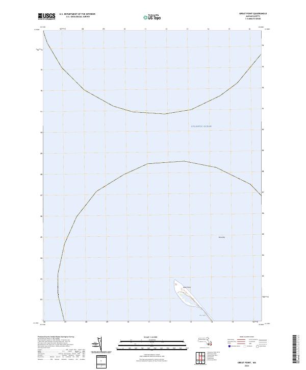
2024 Great Point
Nantucket County, MA
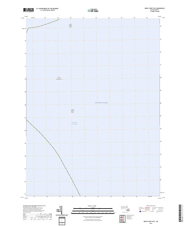
2024 Great Point OE E
Nantucket County, MA
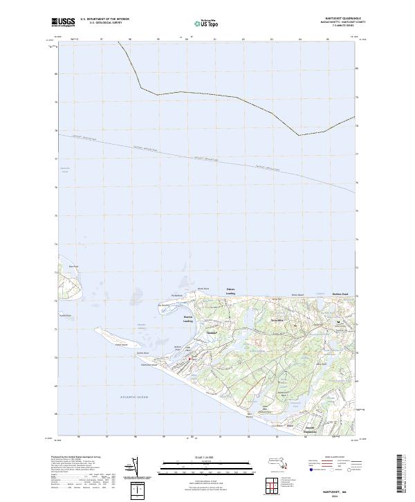
2024 Nantucket
Nantucket County, MA
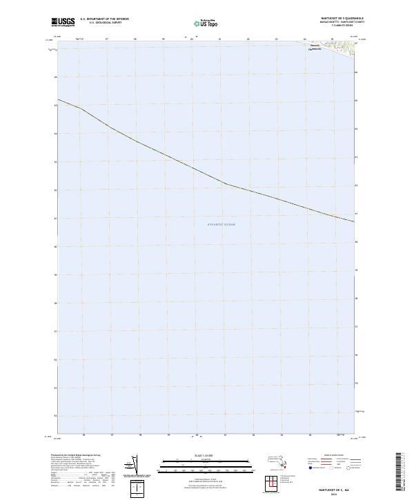
2024 Nantucket OE S
Nantucket County, MA
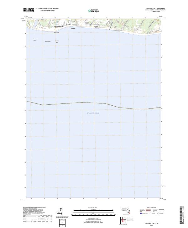
2024 Siasconset OE E
Nantucket County, MA
2024 Siasconset OE SE
Nantucket County, MA
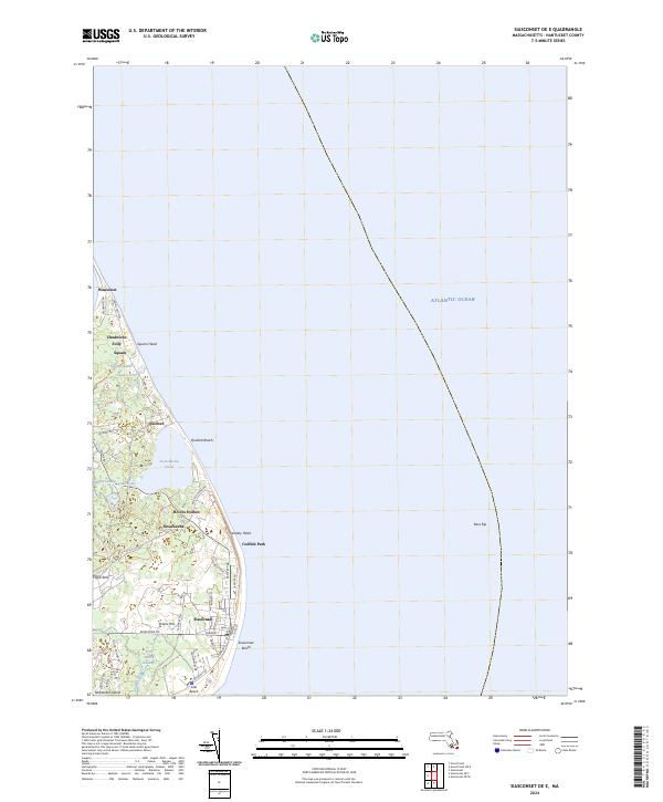
2024 Siasconset OE S
Nantucket County, MA
2024 Tuckernuck Island
Nantucket County, MA