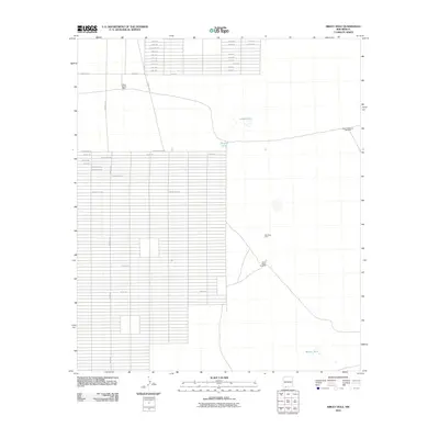
2010 Map of Sibley Hole
USGS Topo · Published 2010About this map
White House Ranch serves as a prominent landmark in this desert landscape of Luna County during the early 21st century. The terrain is characterized by a sparse network of ranch roads and water infrastructure essential for life in the arid Southwest. This map details various resource points including Brushy Tank, Blanco Tank, and the naturally occurring Sibley Hole. The presence of labels like the Wet King Mine and the Board Ranch Windmill reflects the region's historical reliance on mining and cattle ranching. A dense grid of planned roads in the western section suggests a significant land development project or subdivision, contrasting sharply with the open range found near High Lonesome Windmill to the east.
Find a feature on this map
2 named features on this map. Tap any name to fly to it.
Don’t see what you’re looking for? This feature index may not catch every label — zoom into the map to look around manually.
Map Details
Editions of this 2010 Sibley Hole Map
This is the sole edition of this map. No revisions or reprints were ever made.
Other maps of this area

1899 · Deming
USGS Topo · 1:125,000

1915 · Deming
USGS Topo · 1:125,000

1917 · Camel Mountain
USGS Topo · 1:62,500

1917 · Columbus
USGS Topo · 1:62,500

1918 · Columbus
USGS Topo · 1:62,500

1920 · Columbus
USGS Topo · 1:62,500

1953 · El Paso
USGS Topo · 1:250,000

1955 · Las Cruces
USGS Topo · 1:250,000

1958 · Las Cruces
USGS Topo · 1:250,000

1959 · El Paso
USGS Topo · 1:250,000