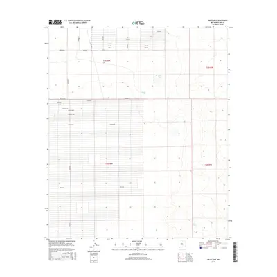
2017 Map of Sibley Hole
USGS Topo · Published 2017About this map
Sibley Hole and Brushy Tank dot the arid landscape of this 2017 survey, where a strict rectilinear grid of rural roads and land divisions defines the high desert of Luna County. The map captures a moment of modern land development and resource management, with Spanish-named thoroughfares like Cam De Vivir, Bello Rd, and Nueve Rd creating a dense network of tracts ready for settlement or agriculture. The terrain remains largely open, marked by subtle elevation shifts and water features like Blanco Tank. This systematic partitioning, visible through the intersection of Palo Alto Rd and Hondale Rd, illustrates the ongoing expansion of rural infrastructure in the region, providing a detailed look at property lines and public access routes near the borders of t25s r6w and t26s r6w.
Find a feature on this map
30 named features on this map. Tap any name to fly to it.
Don’t see what you’re looking for? This feature index may not catch every label — zoom into the map to look around manually.
Map Details
Editions of this 2017 Sibley Hole Map
This is the sole edition of this map. No revisions or reprints were ever made.
Other maps of this area

1899 · Deming
USGS Topo · 1:125,000

1915 · Deming
USGS Topo · 1:125,000

1917 · Camel Mountain
USGS Topo · 1:62,500

1917 · Columbus
USGS Topo · 1:62,500

1918 · Columbus
USGS Topo · 1:62,500

1920 · Columbus
USGS Topo · 1:62,500

1953 · El Paso
USGS Topo · 1:250,000

1955 · Las Cruces
USGS Topo · 1:250,000

1958 · Las Cruces
USGS Topo · 1:250,000

1959 · El Paso
USGS Topo · 1:250,000