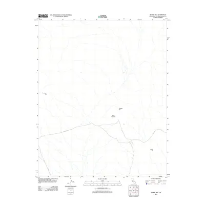
2012 Map of Signal Hill
USGS Topo · Published 2012About this map
Billie Mountain and the surrounding desert peaks anchor this 2012 survey of a remote corner of San Bernardino County. The landscape is defined by the high ground of the Vontrigger Hills and the namesake Signal Hill, positioned at a convergence of topographic features in the eastern Mojave. Evidence of the region's historical use is visible in the paths of Fort Piute Rd and Lanfair Rd, which cut through the arid terrain. The presence of Tungsten Flat points toward the area's geological and mineral history, identifying a specific basin between the mountain ranges where prospectors and miners once focused their efforts. This modern U.S. Geological Survey sheet provides a precise record of the elevation and drainage patterns across these high-desert landmarks.
Find a feature on this map
6 named features on this map. Tap any name to fly to it.
Don’t see what you’re looking for? This feature index may not catch every label — zoom into the map to look around manually.
Map Details
Editions of this 2012 Signal Hill Map
This is the sole edition of this map. No revisions or reprints were ever made.
Other maps of this area

1886 · Camp Mohave
USGS Topo · 1:250,000

1892 · Camp Mohave
USGS Topo · 1:250,000

1910 · Ivanpah
USGS Topo · 1:250,000

1912 · Ivanpah
USGS Topo · 1:250,000

1926 · Mohave City
USGS Topo · 1:96,000

1942 · Camp Mohave
USGS Topo · 1:250,000

1942 · Ivanpah
USGS Topo · 1:250,000

1942 · Amboy
USGS Topo · 1:250,000

1943 · Amboy
USGS Topo · 1:250,000

1943 · Fenner
USGS Topo · 1:62,500