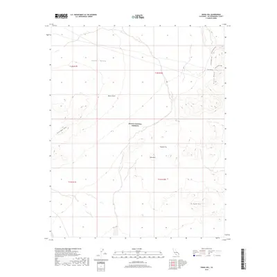
2018 Map of Signal Hill
USGS Topo · Published 2018About this map
Billie Mtn and Signal Hill rise as prominent landmarks within the protected expanse of the Mojave National Preserve in this 2018 survey. The landscape is characterized by the transition from the broad alluvial floor of Lanfair Valley to the more varied terrain of Tungsten Flat and the Vontrigger Hills. The eastern edge of the map reveals the steep contours of the Piute Range, where the Piute Canyon and its associated Piute Canyon Loop provide a glimpse into the traditional drainage and travel patterns of this arid region. The lack of modern development emphasizes the desert's character as it was preserved in the early 21st century, showing only a sparse network of 4WD trails and boundary lines that mark the Mojave National Preserve.
Find a feature on this map
14 named features on this map. Tap any name to fly to it.
Don’t see what you’re looking for? This feature index may not catch every label — zoom into the map to look around manually.
Map Details
Editions of this 2018 Signal Hill Map
This is the sole edition of this map. No revisions or reprints were ever made.
Other maps of this area

1886 · Camp Mohave
USGS Topo · 1:250,000

1892 · Camp Mohave
USGS Topo · 1:250,000

1910 · Ivanpah
USGS Topo · 1:250,000

1912 · Ivanpah
USGS Topo · 1:250,000

1926 · Mohave City
USGS Topo · 1:96,000

1942 · Camp Mohave
USGS Topo · 1:250,000

1942 · Ivanpah
USGS Topo · 1:250,000

1942 · Amboy
USGS Topo · 1:250,000

1943 · Amboy
USGS Topo · 1:250,000

1943 · Fenner
USGS Topo · 1:62,500