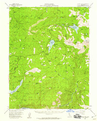
1956 Map of Silver Lake
USGS Topo · Published 1959About this map
Eldorado National Forest and Stanislaus National Forest converge in this mid-century survey, a landscape defined by high-altitude camps and a developing water management system. The map documents the historical Plasse Trading Post (Site) near the banks of Silver Lake, a focal point for early Sierra travel. The 1950s infrastructure is prominent, featuring the Salt Springs Reservoir and the Lower Bear River Reservoir spillway, which reshaped the drainages of the North Fork Mokelumne River.
Find a feature on this map
133 named features on this map. Tap any name to fly to it.
Don’t see what you’re looking for? This feature index may not catch every label — zoom into the map to look around manually.
Map Details
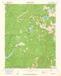
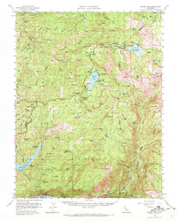
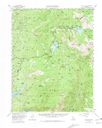
Editions of this 1956 Silver Lake Map
4 editions found
Other maps of this area

1889 · Pyramid Peak
USGS Topo · 1:125,000

1889 · Markleeville
USGS Topo · 1:125,000

1891 · Markleeville
USGS Topo · 1:125,000

1891 · Big Trees
USGS Topo · 1:125,000

1891 · Pyramid Peak
USGS Topo · 1:125,000

1893 · Markleeville
USGS Topo · 1:125,000

1894 · Big Trees
USGS Topo · 1:125,000

1895 · Pyramid Peak
USGS Topo · 1:125,000

1896 · Dardanelles
USGS Topo · 1:125,000

1896 · Pyramid Peak
USGS Topo · 1:125,000