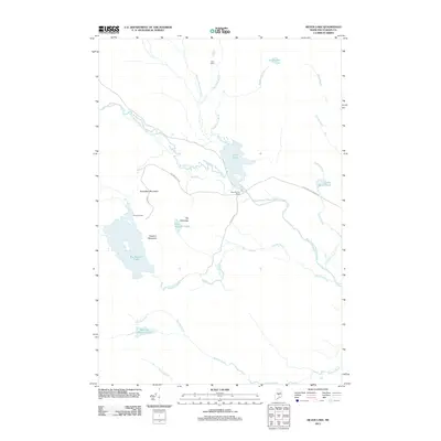
2011 Map of Silver Lake
USGS Topo · Published 2011About this map
Katahdin Iron Works stands as a primary historical focal point along the West Branch Pleasant River in this part of Piscataquis County. The landscape is defined by a series of peaks, including Houston Mountain, Ore Mountain, and Roundtop Mountain, which overlook a network of glacial water bodies and logging camps. Significant water features such as Silver Lake and the expansive Big Houston Pond are connected by numerous waterways like Houston Brook and Saddlerock Brook. The road network, featuring Katahdin Iron Works Rd and Ore Mountain Rd, suggests a legacy of industrial and recreational access. Remote outposts like Pine Camp and Arnold Camps are documented here, providing a detailed look at the backcountry settlement patterns and the intersection of industrial history with the wilderness of the Maine North Woods during the early 21st century.
Find a feature on this map
26 named features on this map. Tap any name to fly to it.
Don’t see what you’re looking for? This feature index may not catch every label — zoom into the map to look around manually.
Map Details
Editions of this 2011 Silver Lake Map
This is the sole edition of this map. No revisions or reprints were ever made.
Other maps of this area

1940 · Sebec
USGS Topo · 1:48,000

1943 · Sebec
USGS Topo · 1:62,500

1950 · Sebec Lake
USGS Topo · 1:62,500

1952 · Jo-Mary Mountain
USGS Topo · 1:62,500

1952 · First Roach Pond
USGS Topo · 1:62,500

1954 · Millinocket
USGS Topo · 1:250,000

1958 · Millinocket
USGS Topo · 1:250,000

1960 · Millinocket
USGS Topo · 1:250,000
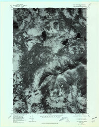
1978 · Hay Mountain
USGS Topo · 1:24,000
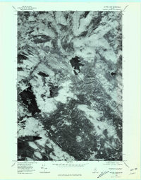
1978 · Silver Lake
USGS Topo · 1:24,000
Featured Places
- Bowerbank, ME
- Barnard Township, ME
- Williamsburg Township, ME
- Bowdoin College Grant East Township, ME
- TB R11 WELS, ME