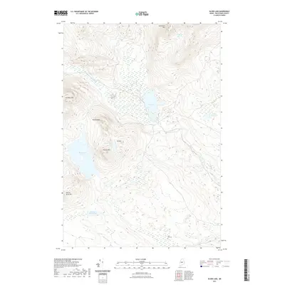
2021 Map of Silver Lake
USGS Topo · Published 2021About this map
Silver Lake sits at the heart of this North Woods landscape, surrounded by a dense network of mountain peaks and isolated water bodies. The terrain is defined by significant elevations such as Chairback Mtn, Saddleback Mtn, and Roundtop Mtn, which frame the watershed of the West Branch Pleasant River. These heights indicate a region primarily shaped by timber and perhaps early mineral prospecting, given the presence of Ore Mtn north of Houston Mtn.
Find a feature on this map
15 named features on this map. Tap any name to fly to it.
Don’t see what you’re looking for? This feature index may not catch every label — zoom into the map to look around manually.
Map Details
Editions of this 2021 Silver Lake Map
This is the sole edition of this map. No revisions or reprints were ever made.
Other maps of this area

1940 · Sebec
USGS Topo · 1:48,000

1943 · Sebec
USGS Topo · 1:62,500

1950 · Sebec Lake
USGS Topo · 1:62,500

1952 · Jo-Mary Mountain
USGS Topo · 1:62,500

1952 · First Roach Pond
USGS Topo · 1:62,500

1954 · Millinocket
USGS Topo · 1:250,000

1958 · Millinocket
USGS Topo · 1:250,000

1960 · Millinocket
USGS Topo · 1:250,000
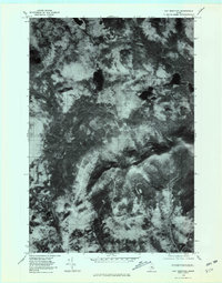
1978 · Hay Mountain
USGS Topo · 1:24,000
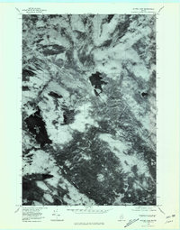
1978 · Silver Lake
USGS Topo · 1:24,000
Featured Places
- Bowerbank, ME
- Barnard Township, ME
- Williamsburg Township, ME
- Bowdoin College Grant East Township, ME
- TB R11 WELS, ME