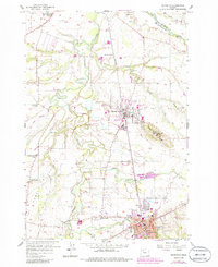
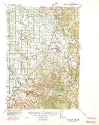
1956 Map of Silverton
USGS Topo · Published 1986About this map
Mount Angel and the surrounding Willamette Valley landscape are captured in this mid-century survey, revealing a region defined by its religious institutions and complex water network. The prominent hill of Mount Angel is crowned by the St Benedict Abbey, while the valley floor below is shaped by the winding Pudding River and the agricultural infrastructure of the Walker Ditch. The map provides significant genealogical value, documenting many rural schools and resting places such as the Bethany Pioneer Cemetery, Simmons Cemetery, and the Belle Passi School (Aband'd).
Find a feature on this map
44 named features on this map. Tap any name to fly to it.
Don’t see what you’re looking for? This feature index may not catch every label — zoom into the map to look around manually.
Map Details
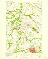
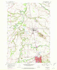
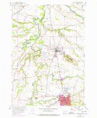
Editions of this 1956 Silverton Map
4 editions found
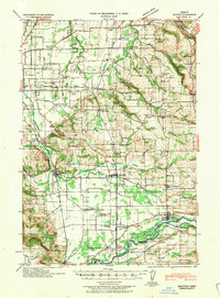
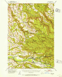
Other maps of this area

1923 · Mount Angel
USGS Topo · 1:62,500

1925 · Stayton
USGS Topo · 1:62,500

1939 · Molalla
USGS Topo · 1:62,500
1940 · Molalla
USGS Topo · 1:62,500

1940 · Mount Angel
USGS Topo · 1:62,500
1941 · Stayton
USGS Topo · 1:62,500

1948 · Vancouver
USGS Topo · 1:250,000

1950 · Vancouver
USGS Topo · 1:250,000

1950 · Vancouver
USGS Topo · 1:250,000
1951 · Lyons
USGS Topo · 1:62,500