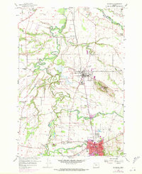
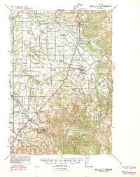
1956 Map of Silverton
USGS Topo · Published 1971About this map
The fertile flats of Elliott Prairie and Howell Prairie define this agricultural landscape in Marion County, where the meandering Pudding River and Abiqua Creek dictate the local geography. The 1956 survey, updated with 1970 aerial data, highlights the established community of Mount Angel and the religious significance of St Benedict Abbey and St Marys College.
Find a feature on this map
46 named features on this map. Tap any name to fly to it.
Don’t see what you’re looking for? This feature index may not catch every label — zoom into the map to look around manually.
Map Details
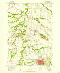
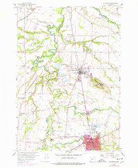
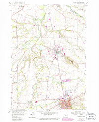
Editions of this 1956 Silverton Map
4 editions found
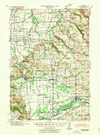
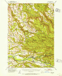
Other maps of this area

1923 · Mount Angel
USGS Topo · 1:62,500

1925 · Stayton
USGS Topo · 1:62,500

1939 · Molalla
USGS Topo · 1:62,500
1940 · Molalla
USGS Topo · 1:62,500

1940 · Mount Angel
USGS Topo · 1:62,500
1941 · Stayton
USGS Topo · 1:62,500

1948 · Vancouver
USGS Topo · 1:250,000

1950 · Vancouver
USGS Topo · 1:250,000

1950 · Vancouver
USGS Topo · 1:250,000
1951 · Lyons
USGS Topo · 1:62,500