
1923 Map of Mount Angel
USGS Topo · Published 1923About this map
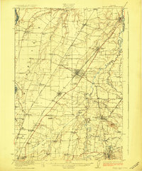
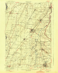
Woodburn and Mount Angel serve as central hubs in this early 1920s survey of Marion County’s fertile agricultural landscape. The region is defined by a dense network of competing rail lines, including the Southern Pacific, Oregon Electric, and the Willamette Valley Southern, which facilitated the movement of crops from the surrounding prairies and valleys. To the south, the US Indian School Chemawa stands as a significant institutional landmark near Brooks, while the Pudding River and its many tributaries like Zollner Creek wind through the terrain, supporting numerous small rural communities.
Find a feature on this map
68 named features on this map. Tap any name to fly to it.
Don’t see what you’re looking for? This feature index may not catch every label — zoom into the map to look around manually.
Map Details
Editions of this 1923 Mount Angel Map
3 editions found
Other maps of this area

1914 · Oregon City
USGS Topo · 1:62,500

1915 · Eola
USGS Topo · 1:31,680

1916 · Tualatin
USGS Topo · 1:62,500

1917 · Salem
USGS Topo · 1:62,500

1924 · Mc Minnville
USGS Topo · 1:48,000

1925 · Stayton
USGS Topo · 1:62,500

1926 · Mc Minnville
USGS Topo · 1:62,500

1939 · Molalla
USGS Topo · 1:62,500

1939 · Oregon City
USGS Topo · 1:62,500

1939 · Tualatin
USGS Topo · 1:62,500