
1916 Map of Tualatin
USGS Topo · Published 1916About this map
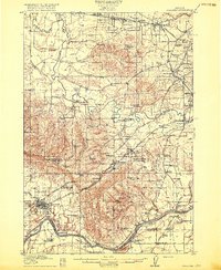
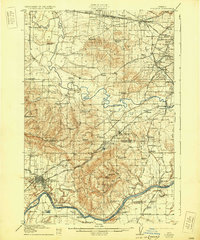
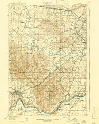
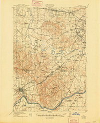
The Tualatin River snakes through a fertile agricultural landscape of the northern Willamette Valley in this 1916 study. The map captures a critical transition in transportation history, as established river crossings like Boones Ferry and Grahams Ferry operate alongside a dense network of steam and electric rail lines. The Southern Pacific and Oregon Electric systems connect growing hubs such as Beaverton and Sherwood, while smaller spurs like Cook Spur and Clutter Spur highlight the region's industrial reach.
Find a feature on this map
99 named features on this map. Tap any name to fly to it.
Don’t see what you’re looking for? This feature index may not catch every label — zoom into the map to look around manually.
Map Details
Editions of this 1916 Tualatin Map
5 editions found
Other maps of this area

1897 · Portland
USGS Topo · 1:62,500

1905 · Portland
USGS Topo · 1:62,500

1914 · Oregon City
USGS Topo · 1:62,500

1915 · Hillsboro
USGS Topo · 1:62,500

1918 · Hillsboro
USGS Topo · 1:62,500

1923 · Mount Angel
USGS Topo · 1:62,500

1924 · Mc Minnville
USGS Topo · 1:48,000

1926 · Mc Minnville
USGS Topo · 1:62,500

1939 · Molalla
USGS Topo · 1:62,500

1939 · Oregon City
USGS Topo · 1:62,500