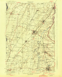
1923 Map of Mount Angel
USGS Topo · Published 1943About this map
Silverton and the surrounding Willamette Valley landscape appear here during a period of significant agricultural and institutional development. The map prominently features the Benedictine community at St Benedict overlooking Mount Angel, alongside an extensive network of rural schoolhouses such as Arbor Grove School and Hazel Dell Sch that served the region's farming families. The lower portion of the sheet reveals the site of the US Indian School Chemawa, an important and somber landmark in the state's educational history.
Find a feature on this map
68 named features on this map. Tap any name to fly to it.
Don’t see what you’re looking for? This feature index may not catch every label — zoom into the map to look around manually.
Map Details
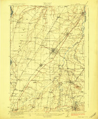
Editions of this 1923 Mount Angel Map
3 editions found
Other maps of this area

1914 · Oregon City
USGS Topo · 1:62,500

1915 · Eola
USGS Topo · 1:31,680

1916 · Tualatin
USGS Topo · 1:62,500

1917 · Salem
USGS Topo · 1:62,500

1923 · Mount Angel
USGS Topo · 1:62,500

1924 · Mc Minnville
USGS Topo · 1:48,000

1925 · Stayton
USGS Topo · 1:62,500

1926 · Mc Minnville
USGS Topo · 1:62,500

1939 · Molalla
USGS Topo · 1:62,500

1939 · Oregon City
USGS Topo · 1:62,500