
1951 Map of Lyons
USGS Topo · Published 1953About this map
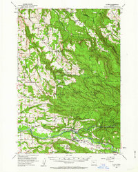
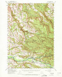
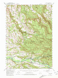
Silver Creek Falls State Park dominates the central landscape of this 1951 survey, capturing a complex network of waterfalls including Double Falls, Winter Falls, and Lower South Falls. The surrounding Marion and Linn County terrain is defined by a transition from the elevated peaks of Rocky Top and Wildcat Ridge down to the North Santiam River valley. Small timber-and-rail settlements like Lyons and Mehama are clustered along the Southern Pacific railroad line, which follows the river's path through the southern reach of the quadrangle.
Find a feature on this map
72 named features on this map. Tap any name to fly to it.
Don’t see what you’re looking for? This feature index may not catch every label — zoom into the map to look around manually.
Map Details
Editions of this 1951 Lyons Map
4 editions found
Other maps of this area

1916 · Estacada
USGS Topo · 1:125,000

1921 · Lebanon
USGS Topo · 1:62,500

1922 · Lebanon
USGS Topo · 1:48,000

1923 · Mount Angel
USGS Topo · 1:62,500

1924 · Lebanon
USGS Topo · 1:62,500

1925 · Stayton
USGS Topo · 1:62,500

1929 · Mill City
USGS Topo · 1:125,000

1939 · Molalla
USGS Topo · 1:62,500

1940 · Molalla
USGS Topo · 1:62,500

1940 · Lebanon
USGS Topo · 1:62,500