
1929 Map of Mill City
USGS Topo · Published 1929About this map
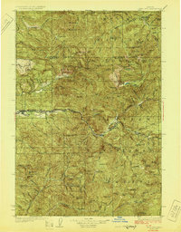
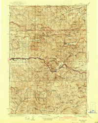
The Southern Pacific railroad follows the winding path of the North Santiam River through the heart of the Cascades in the late 1920s, connecting the timber and mining hubs of Mill City and Detroit. This era reveals a landscape defined by resource extraction and early forest management, where the Santiam National Forest and Mt Hood National Forest meet. The map documents several significant mining operations tucked into the drainages of the Little North Santiam River, including the Silver King Mine, Black Eagle Mine, and Henline Mine. Further south, the settlement of Quartzville serves as a reminder of the region's gold mining history along Quartzville Creek. Local infrastructure is captured through features like the Elkhorn School and isolated outposts such as the Bagby Hot Springs Ranger Sta, illustrating the sparse but organized settlement pattern of the Oregon backcountry before later mid-century developments.
Find a feature on this map
119 named features on this map. Tap any name to fly to it.
Don’t see what you’re looking for? This feature index may not catch every label — zoom into the map to look around manually.
Map Details
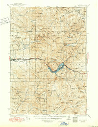
Editions of this 1929 Mill City Map
4 editions found
Other maps of this area

1916 · Estacada
USGS Topo · 1:125,000

1924 · Mount Hood
USGS Topo · 1:125,000

1927 · Mount Hood
USGS Topo · 1:125,000

1927 · Mt. Jefferson
USGS Topo · 1:125,000

1929 · Three Sisters
USGS Topo · 1:125,000

1930 · Mt. Jefferson
USGS Topo · 1:125,000

1932 · Three Sisters
USGS Topo · 1:125,000

1934 · Mc Kenzie Bridge
USGS Topo · 1:96,000

1939 · Molalla
USGS Topo · 1:62,500

1940 · Molalla
USGS Topo · 1:62,500