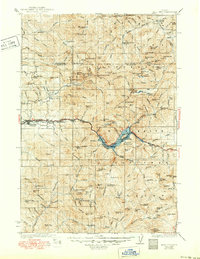
1929 Map of Mill City
USGS Topo · Published 1950About this map
Mill City and the neighboring settlements of Gates, Niagara, and Detroit anchor this 1920s landscape along the North Santiam River. The geography reveals a transition from the river valley settlements to the industrial and administrative outposts of the Willamette National Forest. Mining activity is heavily concentrated in the mountains, with sites like the Silver King Mine, Black Eagle Mine, Ogle Mtn Mines, and Crown Mine marking significant resource extraction in the region.
Find a feature on this map
159 named features on this map. Tap any name to fly to it.
Don’t see what you’re looking for? This feature index may not catch every label — zoom into the map to look around manually.
Map Details
Editions of this 1929 Mill City Map
4 editions found
Other maps of this area

1916 · Estacada
USGS Topo · 1:125,000

1924 · Mount Hood
USGS Topo · 1:125,000

1927 · Mount Hood
USGS Topo · 1:125,000

1927 · Mt. Jefferson
USGS Topo · 1:125,000

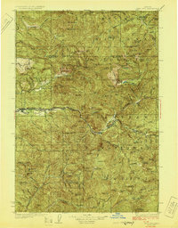
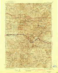
1929 · Mill City
USGS Topo · 1:125,000

1929 · Three Sisters
USGS Topo · 1:125,000

1930 · Mt. Jefferson
USGS Topo · 1:125,000

1932 · Three Sisters
USGS Topo · 1:125,000

1934 · Mc Kenzie Bridge
USGS Topo · 1:96,000

1939 · Molalla
USGS Topo · 1:62,500