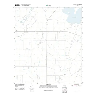
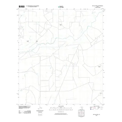
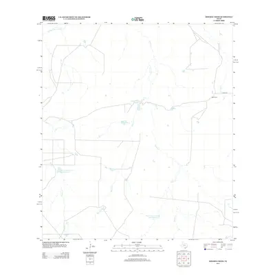
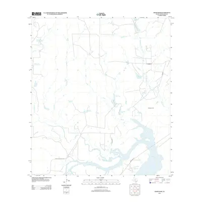
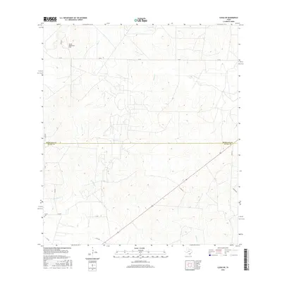
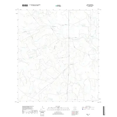
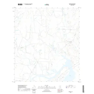
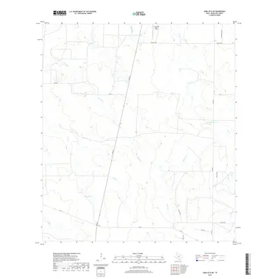
1929 Map of Simmons
USGS Topo · Published 1929About this map
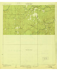
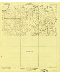
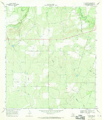
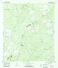
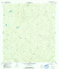
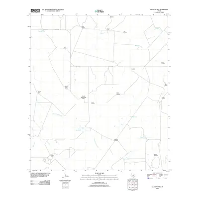
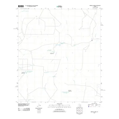
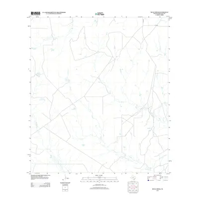
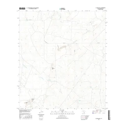
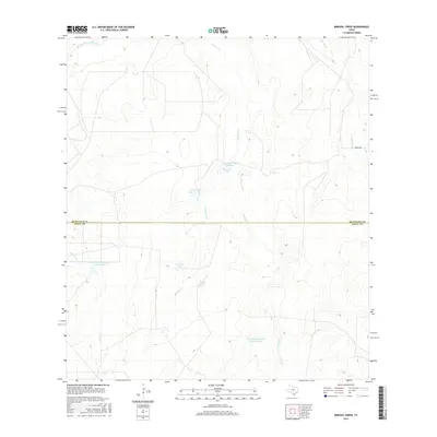
Calliham and the winding Frio River anchor the northern landscape of this South Texas survey, which captures the region during a period of transition in the late 1920s. The settlement patterns follow the drainages and early motor routes, such as the Tilden and Three Rivers Road. One notable insight into the era's local infrastructure is the isolated Brice Sch, situated alone in the western brush country, serving the scattered families of what was then a largely unsurveyed area. The southern portion of the map is dominated by the confluence of numerous creeks, including Paisano Creek and Dragoon Creek, as they feed into the Nueces River near the small community of Simmons. This map documents a quiet rural economy before more modern development altered the land use along these vital waterways.
Find a feature on this map
19 named features on this map. Tap any name to fly to it.
Don’t see what you’re looking for? This feature index may not catch every label — zoom into the map to look around manually.
Map Details
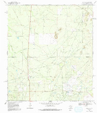
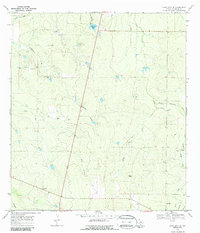
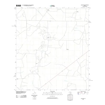
Editions of this 1929 Simmons Map
2 editions found
Historical Maps of Calliham Through Time
90 maps found
1925 Crowther No. 3
McMullen County, TX
1925 Simmons No. 2
McMullen County, TX
1925 Tilden No. 1
McMullen County, TX
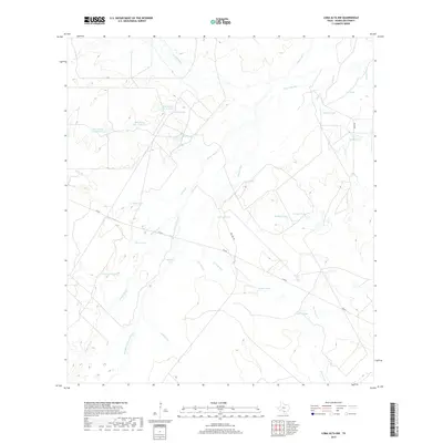
1929 Simmons
McMullen County, TX
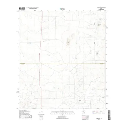
1937 Loma Alta
McMullen County, TX
1956 Franklin Settlement
McMullen County, TX
1965 Crowther
McMullen County, TX
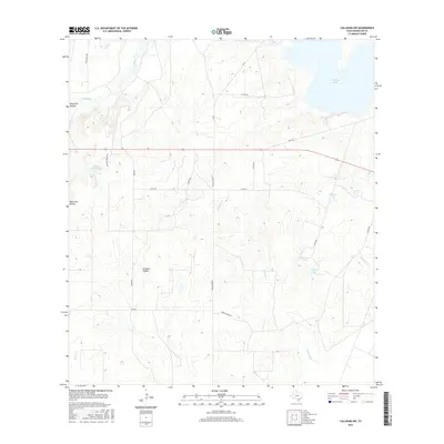
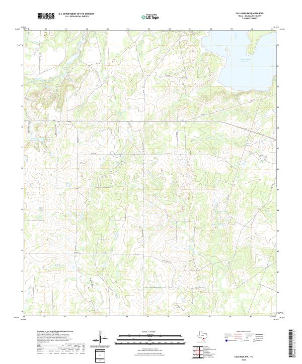
1967 Calliham NW
McMullen County, TX
1969 Clegg SW
McMullen County, TX
1969 Cross
McMullen County, TX
1969 Fitzpatrick Hollow
McMullen County, TX
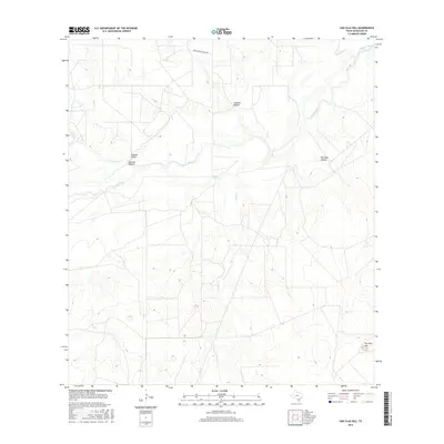
1969 La Chusa Hill
McMullen County, TX
1969 Loma Alta
McMullen County, TX
1969 Loma Alta NE
McMullen County, TX
1969 Loma Alta NW
McMullen County, TX

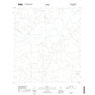
1969 Mirasol Creek
McMullen County, TX
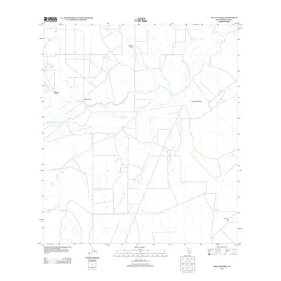
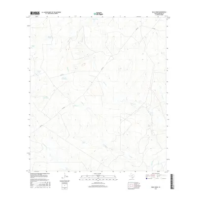
1969 Mule Creek
McMullen County, TX
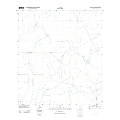
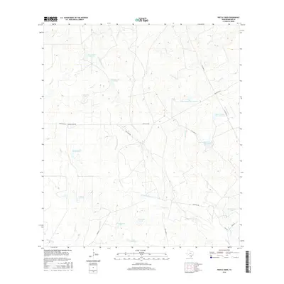
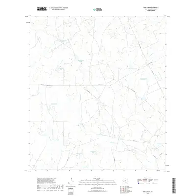
1969 Pertle Creek
McMullen County, TX
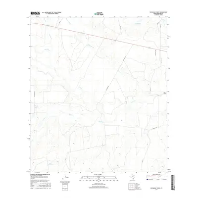
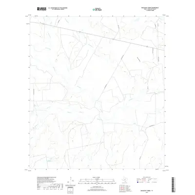
1969 Rockaway Creek
McMullen County, TX
1969 San Caja Hill
McMullen County, TX
2010 Calliham NW
McMullen County, TX
2010 Clegg SW
McMullen County, TX
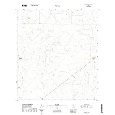
2010 Cross
McMullen County, TX

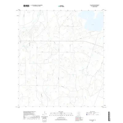
2010 Crowther
McMullen County, TX
2010 Fitzpatrick Hollow
McMullen County, TX
2010 La Chusa Hill
McMullen County, TX
2010 Loma Alta
McMullen County, TX
2010 Loma Alta NE
McMullen County, TX
2010 Loma Alta NW
McMullen County, TX
2010 Mirasol Creek
McMullen County, TX
2010 Mule Creek
McMullen County, TX
2010 Pertle Creek
McMullen County, TX
2010 Rockaway Creek
McMullen County, TX
2010 San Caja Hill
McMullen County, TX
2012 Clegg SW
McMullen County, TX
2012 La Chusa Hill
McMullen County, TX
2012 Loma Alta NW
McMullen County, TX
2012 Mirasol Creek
McMullen County, TX
2012 Rockaway Creek
McMullen County, TX
2013 Calliham NW
McMullen County, TX
2013 Cross
McMullen County, TX
2013 Crowther
McMullen County, TX
2013 Fitzpatrick Hollow
McMullen County, TX
2013 Loma Alta
McMullen County, TX
2013 Loma Alta NE
McMullen County, TX
2013 Mule Creek
McMullen County, TX
2013 Pertle Creek
McMullen County, TX
2013 San Caja Hill
McMullen County, TX
2016 Calliham NW
McMullen County, TX
2016 Clegg SW
McMullen County, TX
2016 Cross
McMullen County, TX
2016 Crowther
McMullen County, TX
2016 Fitzpatrick Hollow
McMullen County, TX
2016 La Chusa Hill
McMullen County, TX
2016 Loma Alta
McMullen County, TX
2016 Loma Alta NE
McMullen County, TX
2016 Loma Alta NW
McMullen County, TX
2016 Mirasol Creek
McMullen County, TX
2016 Mule Creek
McMullen County, TX
2016 Pertle Creek
McMullen County, TX
2016 Rockaway Creek
McMullen County, TX
2016 San Caja Hill
McMullen County, TX
2019 Calliham NW
McMullen County, TX
2019 Clegg SW
McMullen County, TX
2019 Cross
McMullen County, TX
2019 Crowther
McMullen County, TX
2019 Fitzpatrick Hollow
McMullen County, TX
2019 La Chusa Hill
McMullen County, TX
2019 Loma Alta
McMullen County, TX
2019 Loma Alta NE
McMullen County, TX
2019 Loma Alta NW
McMullen County, TX
2019 Mirasol Creek
McMullen County, TX
2019 Mule Creek
McMullen County, TX
2019 Pertle Creek
McMullen County, TX
2019 Rockaway Creek
McMullen County, TX
2019 San Caja Hill
McMullen County, TX
2022 Calliham NW
McMullen County, TX
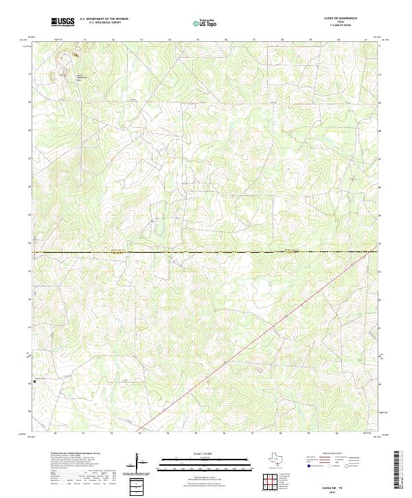
2022 Clegg SW
McMullen County, TX
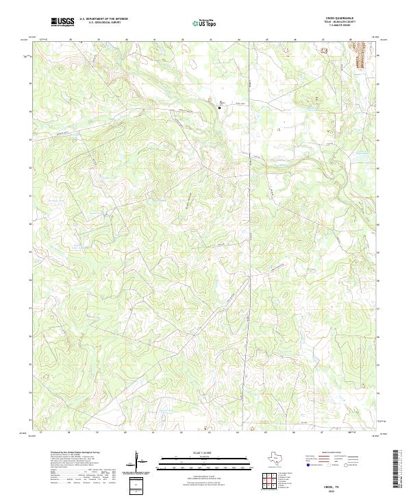
2022 Cross
McMullen County, TX
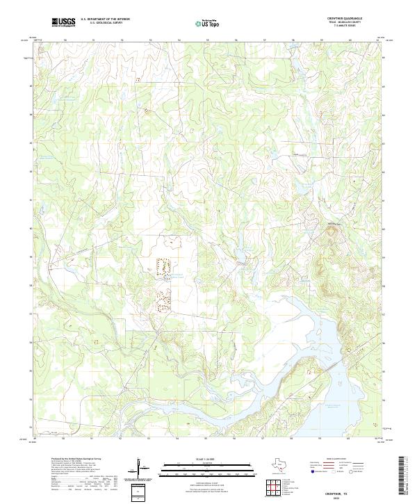
2022 Crowther
McMullen County, TX
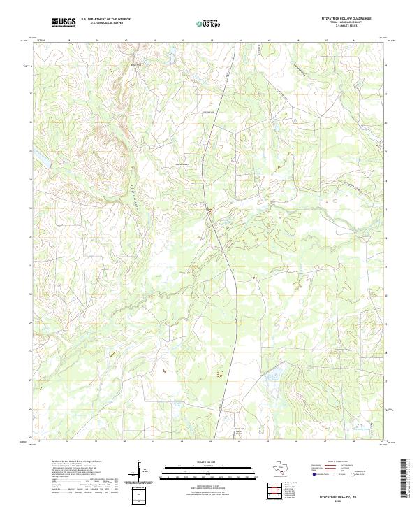
2022 Fitzpatrick Hollow
McMullen County, TX
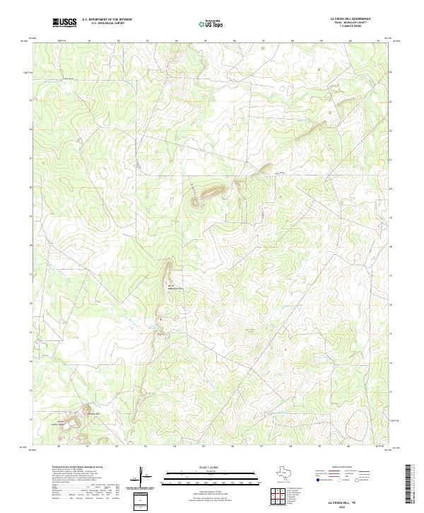
2022 La Chusa Hill
McMullen County, TX
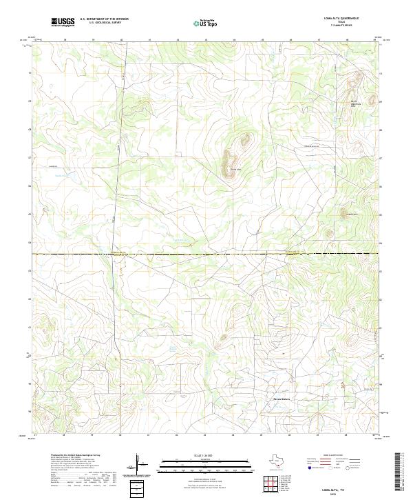
2022 Loma Alta
McMullen County, TX
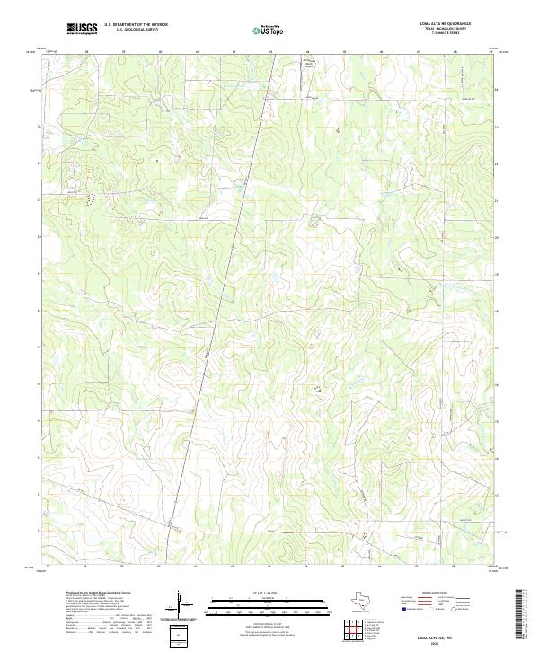
2022 Loma Alta NE
McMullen County, TX
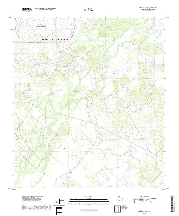
2022 Loma Alta NW
McMullen County, TX
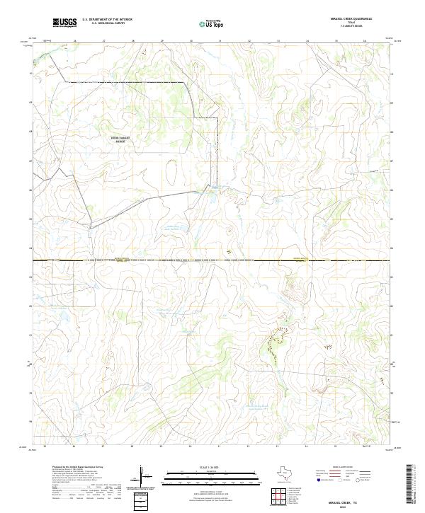
2022 Mirasol Creek
McMullen County, TX
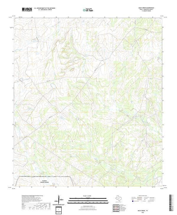
2022 Mule Creek
McMullen County, TX
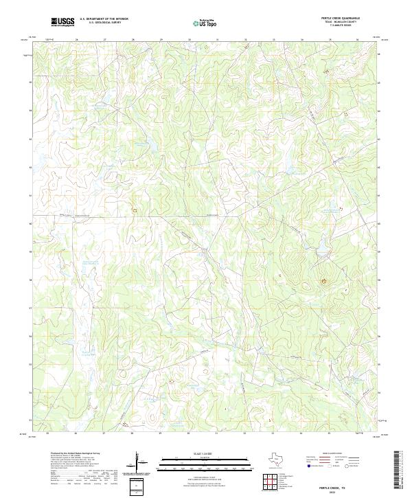
2022 Pertle Creek
McMullen County, TX
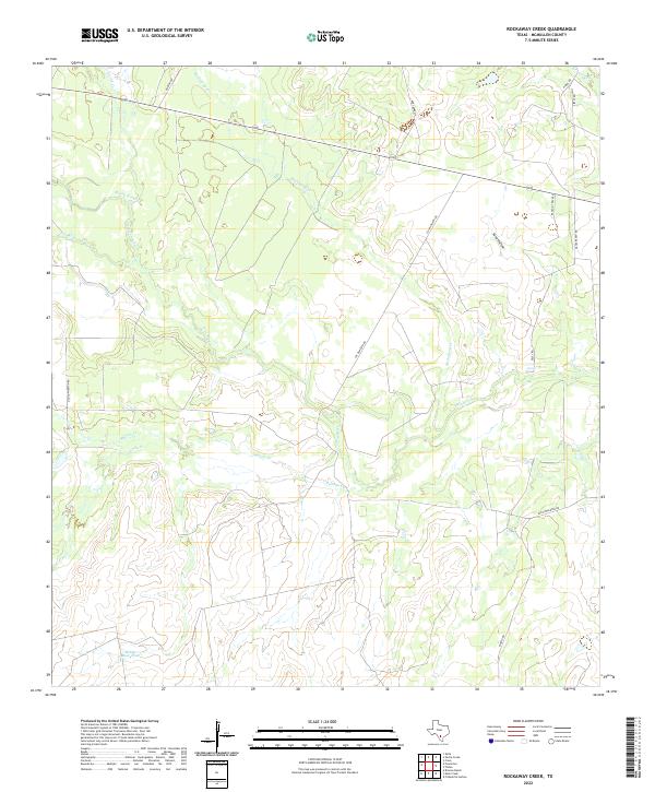
2022 Rockaway Creek
McMullen County, TX
2022 San Caja Hill
McMullen County, TX