
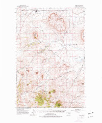
1960 Map of Simms
USGS Topo · Published 1962About this map
The community of Simms serves as the northern anchor of this landscape, where the Fort Shaw Canal cuts through the plains north of the Crown Butte formation. This terrain is defined by dramatic volcanic features and mesas, including the prominent Square Butte and Birdtail Butte. The historical footprint of early transportation and settlement is evident at the Eagle Rock Stage Station (Site) and along the Mullan Road, a vital early route through the Montana Territory.
Find a feature on this map
71 named features on this map. Tap any name to fly to it.
Don’t see what you’re looking for? This feature index may not catch every label — zoom into the map to look around manually.
Map Details
Editions of this 1960 Simms Map
2 editions found
Other maps of this area

1886 · Great Falls
USGS Topo · 1:250,000

1920 · Choteau
USGS Topo · 1:125,000

1943 · Hogan
USGS Topo · 1:125,000

1949 · Cascade
USGS Topo · 1:62,500

1949 · Vaughn
USGS Topo · 1:62,500

1950 · Fairfield
USGS Topo · 1:62,500

1951 · Cascade
USGS Topo · 1:62,500

1952 · Vaughn
USGS Topo · 1:62,500

1954 · Great Falls
USGS Topo · 1:250,000

1955 · Choteau
USGS Topo · 1:250,000