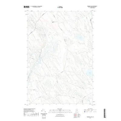
2021 Map of Simsquish Lake
USGS Topo · Published 2021About this map
The St. Croix River forms the international boundary with Canada at the eastern edge of this Washington County landscape, where the Maine wilderness is defined by an intricate network of waterways. Centered on the sprawling wetlands of Tomah Stream, the area contains several isolated water bodies including Simsquish Lake and Hound Brook Lake. The terrain is characterized by modest elevations like Pattingill Ridge and the broad depressions of Haycock Bog. A sparse road network, including Vanceboro Rd and Tomah Dam Rd, provides the only overland access through this heavily forested timberland. The presence of numerous brooks—from Beaver Brook in the north to W Br Millberry Brook in the south—indicates a landscape historically utilized for its water resources and natural drainage before reaching the river system.
Find a feature on this map
27 named features on this map. Tap any name to fly to it.
Don’t see what you’re looking for? This feature index may not catch every label — zoom into the map to look around manually.
Map Details
Editions of this 2021 Simsquish Lake Map
This is the sole edition of this map. No revisions or reprints were ever made.
Other maps of this area

1930 · Vanceboro
USGS Topo · 1:48,000

1933 · Vanceboro
USGS Topo · 1:62,500

1940 · Waite
USGS Topo · 1:62,500

1940 · Forest
USGS Topo · 1:62,500

1940 · Kellyland
USGS Topo · 1:62,500

1942 · Kellyland
USGS Topo · 1:62,500

1942 · Waite
USGS Topo · 1:62,500

1942 · Forest
USGS Topo · 1:62,500

1957 · Fredericton
USGS Topo · 1:250,000

1963 · Fredericton
USGS Topo · 1:250,000