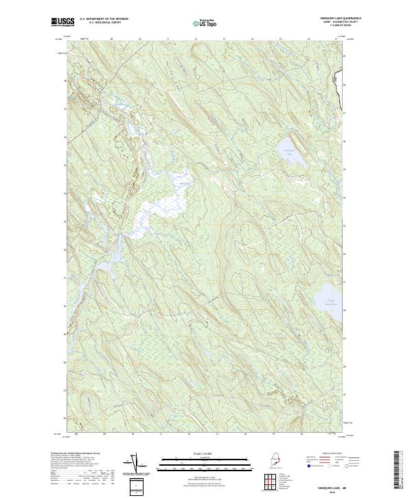
2024 Map of Simsquish Lake
USGS Topo · Published 2024About this map
Tomah Stream and its numerous tributaries dominate this interior landscape of Washington County, illustrating a complex network of wetlands and waterways along the international border. The terrain is defined by the prominent Pattingill Ridge, which rises above a series of significant water bodies including Bull Pond and the expansive Simsquish Lake. To the east, the boundary between the USA and Canada is clearly marked as it traverses the wetlands and ponds of the region.
Find a feature on this map
25 named features on this map. Tap any name to fly to it.
Don’t see what you’re looking for? This feature index may not catch every label — zoom into the map to look around manually.
Map Details
Editions of this 2024 Simsquish Lake Map
This is the sole edition of this map. No revisions or reprints were ever made.
Other maps of this area

1930 · Vanceboro
USGS Topo · 1:48,000

1933 · Vanceboro
USGS Topo · 1:62,500

1940 · Waite
USGS Topo · 1:62,500

1940 · Forest
USGS Topo · 1:62,500

1940 · Kellyland
USGS Topo · 1:62,500

1942 · Kellyland
USGS Topo · 1:62,500

1942 · Waite
USGS Topo · 1:62,500

1942 · Forest
USGS Topo · 1:62,500

1957 · Fredericton
USGS Topo · 1:250,000

1963 · Fredericton
USGS Topo · 1:250,000