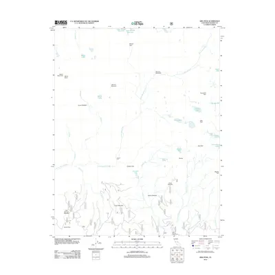
2012 Map of Sing Peak
USGS Topo · Published 2012About this map
Sing Peak and the surrounding high Sierra Nevada landscape dominate this 2012 survey, where intricate river systems and granite crests dictate the local geography. The headwaters of the S Fork Merced River and Chiquito Cr carve through the terrain, linked by established backcountry routes such as Merced Pass, Chiquito Pass, and Fernandez Pass. These passes have long served as vital corridors through the high country.
Find a feature on this map
41 named features on this map. Tap any name to fly to it.
Don’t see what you’re looking for? This feature index may not catch every label — zoom into the map to look around manually.
Map Details
Editions of this 2012 Sing Peak Map
This is the sole edition of this map. No revisions or reprints were ever made.
Other maps of this area

1897 · Yosemite
USGS Topo · 1:125,000

1900 · Yosemite
USGS Topo · 1:125,000

1901 · Mt. Lyell
USGS Topo · 1:125,000

1903 · Yosemite
USGS Topo · 1:125,000

1904 · Kaiser
USGS Topo · 1:125,000

1909 · Yosemite
USGS Topo · 1:125,000

1912 · Mariposa
USGS Topo · 1:125,000

1947 · Mariposa
USGS Topo · 1:250,000

1948 · Mariposa
USGS Topo · 1:250,000

1953 · Merced Peak
USGS Topo · 1:62,500