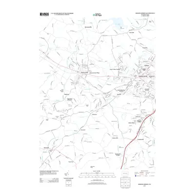
2013 Map of Sinking Spring
USGS Topo · Published 2013About this map
Cushion Peak stands as a prominent landmark in this transition from the suburban clusters west of Reading to the ridges of the South Mountain area. The landscape is defined by a dense network of residential developments and institutions, including the Villa Maria Infirmary, Phoebe Berks Village, and South Mountain Manor. These settlements are closely tied to the winding paths of Cacoosing Cr and Little Cacoosing Cr, which carve through the terrain between Wernersville and Sinking Spring.
Find a feature on this map
324 named features on this map. Tap any name to fly to it.
Don’t see what you’re looking for? This feature index may not catch every label — zoom into the map to look around manually.
Map Details
Editions of this 2013 Sinking Spring Map
This is the sole edition of this map. No revisions or reprints were ever made.
Other maps of this area

1894 · Reading
USGS Topo · 1:62,500

1902 · Wernersville
USGS Topo · 1:62,500

1905 · Honey Brook
USGS Topo · 1:62,500

1906 · New Holland
USGS Topo · 1:62,500

1907 · Honeybrook
USGS Topo · 1:62,500

1908 · New Holland
USGS Topo · 1:62,500

1913 · Reading
USGS Topo · 1:62,500

1915 · Reading
USGS Topo · 1:62,500

1941 · Honeybrook
USGS Topo · 1:62,500

1941 · New Holland
USGS Topo · 1:62,500
Featured Places
- Sinking Spring, PA
- Wernersville, PA
- Reinholds, West Cocalico Township
- North Heidelberg Township, PA
- West Cocalico Township, PA